This was the big day. We were driving the Top of the World Highway to Chicken, Alaska. We had heard a lot of stories from friends and family who have been to Alaska and people we met on the road and it was our turn to find out what the road was really like. On the 23rd I had taken Zaph on his morning walk to main street to look at the ferry and found an incredible line up. A caravan of 23 RV’s had created a 3 hour line up. This morning we were a lot luckier. When Ed and I pulled up to the ferry we were 4th in line, Colin and Margaret were a few minutes behind us and 7th in line. Not too bad, 3 ferry crossings later and we were on the other side (the ferry can take about 3 Rvs and a car or two at a time). The Top of the World Highway goes from Dawson City, Yukon to Jack Wade Junction, Alaska then continues on as the Taylor Highway till it ends at the Alaska Highway. The portion between Dawson City and Chicken tends to stay high in the mountains and follows at lot of ridges. This leads to beautiful views and some scarey roads. A fire burning in the north of the Yukon created a smokey haze over the mountains obscuring the views for photographs but the was still very nice. The road was not as bad as we had been led to believe but I’m sure it has been widened and repaired over the past 15 years. Also, as Ed and I have traveled through mountainous regions in other parts of the world (Peru, Turkey, Morocco) we may be a bit more accustomed to them. Now there was a spot near Chicken where the road was winding through the mountain and trailer coming the other met us at the bend ... at least we were on the inside of the turn! Chicken, now that’s an interesting place. Oh, by the way it got it’s name because the town people want to call it Ptarmigan after the bird but no one new how to spell Ptarmigan and the bird was also known as a chicken thus the name. Ed read some literature that said that Chicken no longer exists but it seems some very enterprising people have recreated the town in a new location (a few miles from the original one). There are 2 campgrounds, 1 mining operation complete with historic dredge and a section called “Beautiful Downtown Chicken”. “Beautiful Downtown Chicken” consists of a store, bar, and a café. 15 people live there all year and 25 or 30 in the summer. The Taylor Highway and Top of the World Highway are closed in the winter so the 15 people are pretty isolated. Mail and supplies come in by plan in the winter. We decided to forgo the opportunity of staying in Chicken (the campgrounds were parking lots) and continued down the highway to Walker Forks BLM. Very pretty but they grow the mosquitos really big there — had to hide in the trailer! We crossed the Canada / US border about 106 km into the drive high in the mountains. This was the easiest border crossing we’ve ever had. We handed over our passports and Zaph’s health certificated, had a nice chat about the posting and continued on our way. No questions, no fuss — boy was that ever nice.
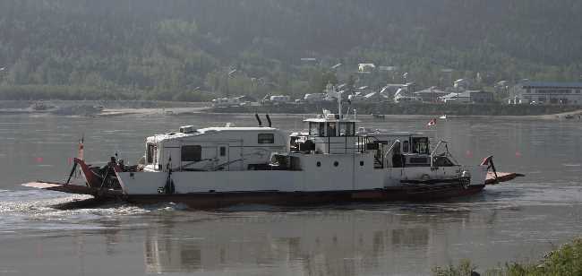
Colin and Margaret are on the ferry crossing the Yukon River.
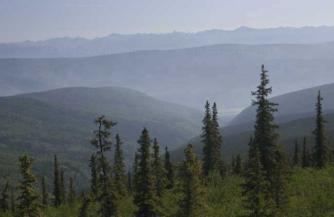
A view from the Top of the World Highway
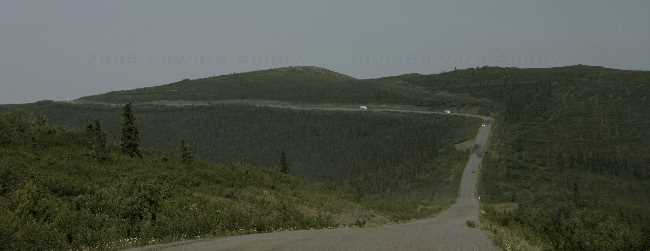
Another view of the highway
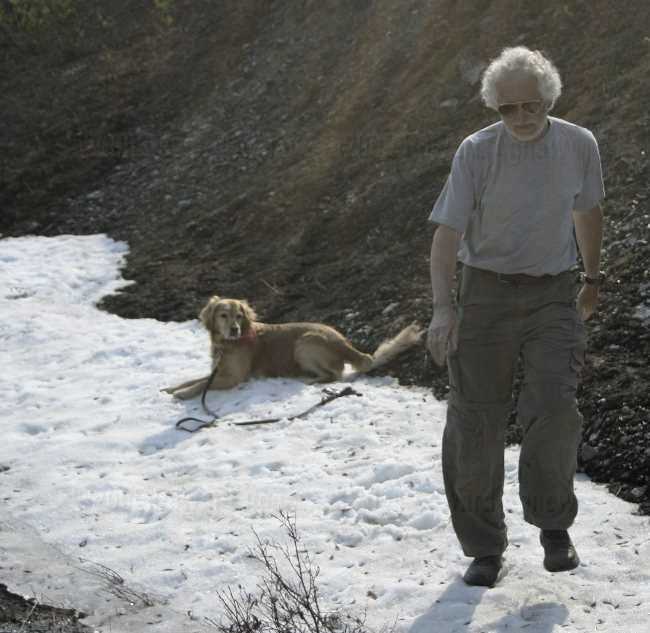
Ed and Zaph found some more snow to play in.
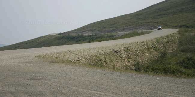
Nice road, eh?
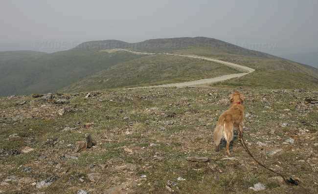
Zaph enjoying the view at the highest point of the Top of the World Highway.
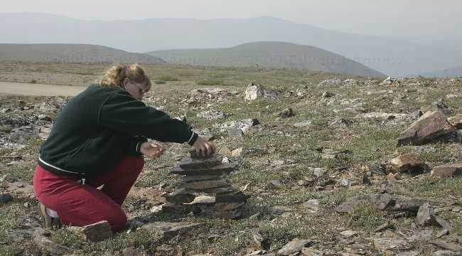
Sometimes you just have to build a man to get a good one.
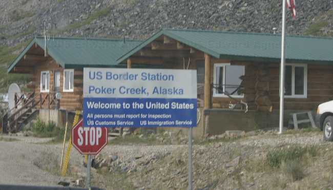
The nicest border guard works here.
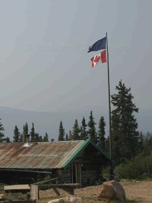
Interesting ... they fly the Alaskan flag and the Canadian flag here.
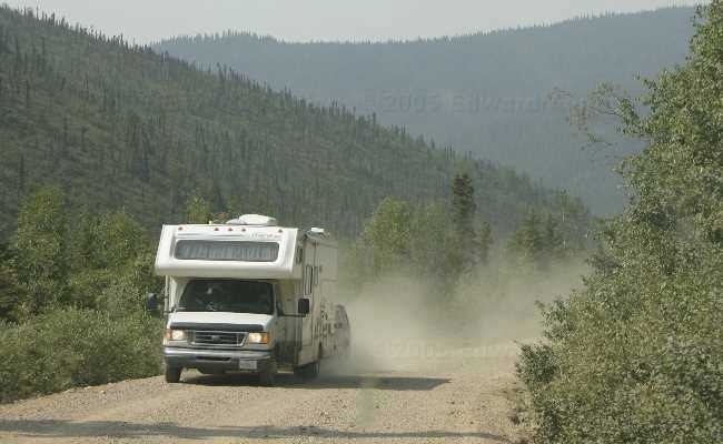
Look at that dust. The inside and outside of our trailer is covered with it.
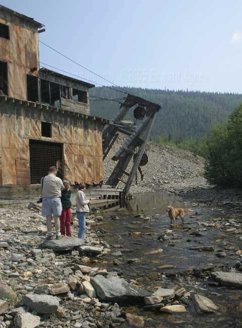
A dredge along side of the highway ... Zaph thinks it's a great place to play.
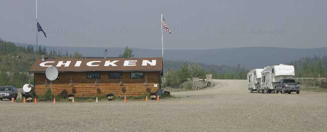
Here we are in Chicken.
# posted by The Agnew Family : 1:46 PM


