2022/11/04: Time to Head Home
Category: General
Posted by: The Agnew Family
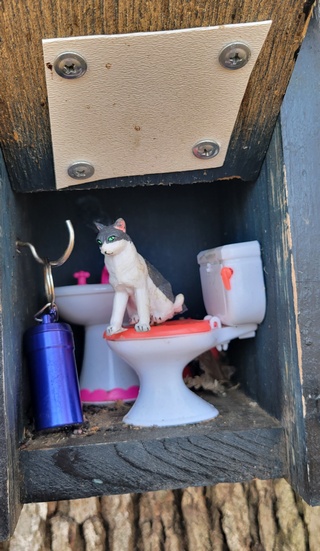
We decided to take it easy and took 2 days to drive home. A few of the
rest stops had geocaches, so Ed decided they were fair game. Walking
around the rest area gave us a nice break from driving. This one is
pretty cute and was called Cats need rest stops too!
On Saturday morning when Ed got up he opened the curtain and saw a sunrise. He doesn't see many of them so he took a photo.
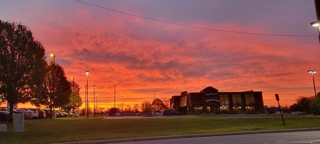

On Saturday morning when Ed got up he opened the curtain and saw a sunrise. He doesn't see many of them so he took a photo.

2022/11/03: Clingmans Dome and Wildlife
Category: General
Posted by: The Agnew Family
The main objective today was to "climb" Clingmans Dome. After that it was do whatever strikes our fancy.
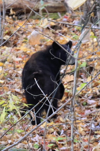
We were driving along the main road in the park and I said to Ed, "what's crossing the road?". His answer was "a bear". We pulled to the side and shot a couple of photos through the window. The bear was moving, so it's not the greatest photo.
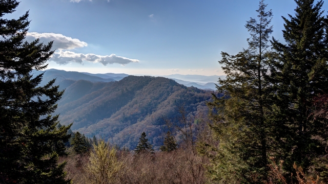
As it was sunny we thought we'd stop at the Newfound Gap (it's where the trailhead for Charles Bunion is) and see if we could get some better photos. It was a bit better but that smoky blue haze was still out there.
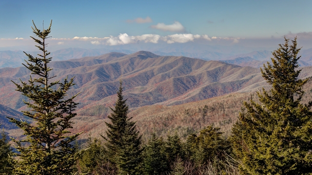
Another attempt.
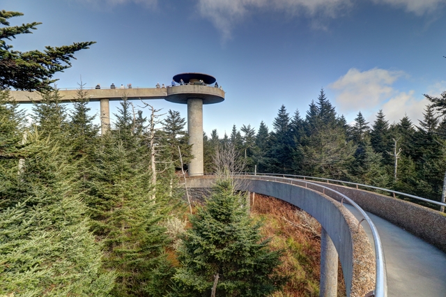
Clingman's Dome is the highest point in the park. It's a half mile hike up a paved walkway to get to the observation tower. This is another really popular spot --- when we were leaving there were a few empty parking spots but a lot more vehicles were arriving. We were glad we arrived early.
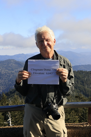
The park left an elevation sign that you could hold then have your photo taken.
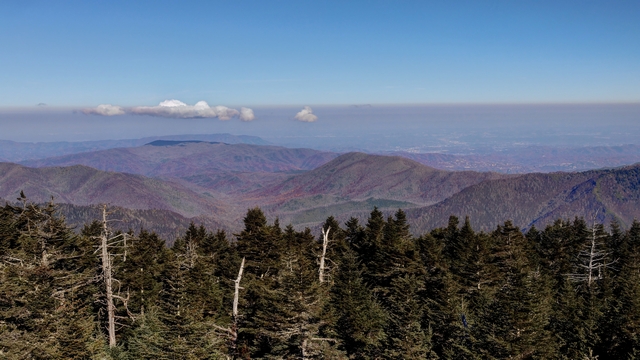
A view from the top.
After we left Clingmans Dome Ed stopped at a couple of places for photos.
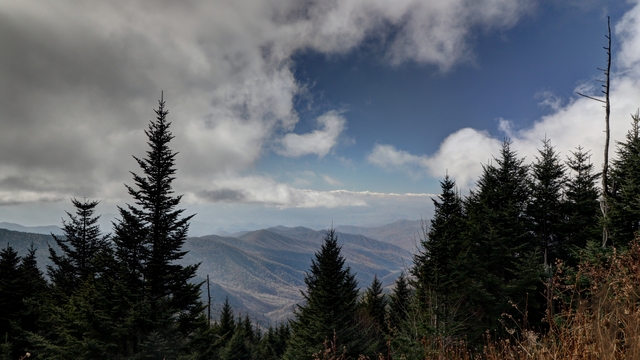
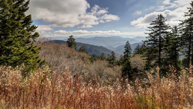
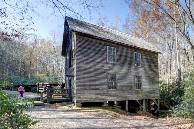
We decided to continue on the main highway through the park and ended up at another mill. This one has been restored and flour is milled here occasionally.
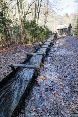
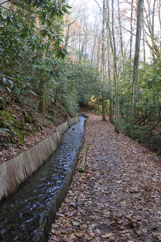
The mill sluice, looking towards the mill and away from the mill.
Next stop was the Oconaluftee Visitor Center so we could walk the Oconaluftee River Trail. Again, an easy trail maybe a couple of miles return. It was a very peaceful and easy walk made better by others on the trail. We hadn't gone to far when we some Elk resting not far off the trail. Continuing we found a mom and young elk hanging out in the river.
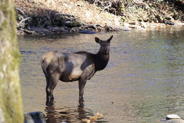
Mom
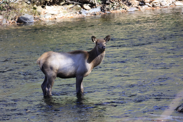
Probably a 6-month-old Elk. We saw several other Elks as we walk along the trail.
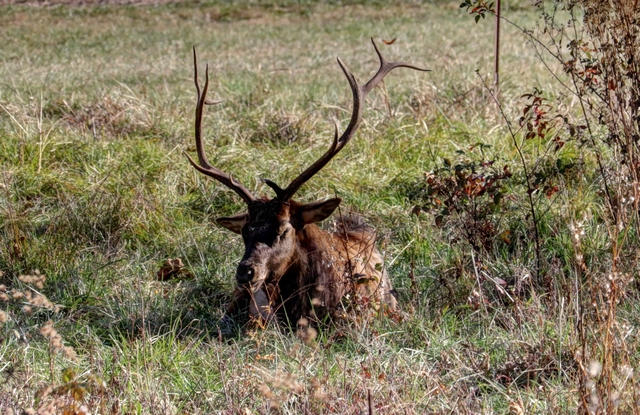
When we got back to the visitor center this 2- or 3-year-old male Elk was hanging around.
We were driving along the main road in the park and I said to Ed, "what's crossing the road?". His answer was "a bear". We pulled to the side and shot a couple of photos through the window. The bear was moving, so it's not the greatest photo.

As it was sunny we thought we'd stop at the Newfound Gap (it's where the trailhead for Charles Bunion is) and see if we could get some better photos. It was a bit better but that smoky blue haze was still out there.

Another attempt.

Clingman's Dome is the highest point in the park. It's a half mile hike up a paved walkway to get to the observation tower. This is another really popular spot --- when we were leaving there were a few empty parking spots but a lot more vehicles were arriving. We were glad we arrived early.
The park left an elevation sign that you could hold then have your photo taken.

A view from the top.
After we left Clingmans Dome Ed stopped at a couple of places for photos.


We decided to continue on the main highway through the park and ended up at another mill. This one has been restored and flour is milled here occasionally.

The mill sluice, looking towards the mill and away from the mill.
Next stop was the Oconaluftee Visitor Center so we could walk the Oconaluftee River Trail. Again, an easy trail maybe a couple of miles return. It was a very peaceful and easy walk made better by others on the trail. We hadn't gone to far when we some Elk resting not far off the trail. Continuing we found a mom and young elk hanging out in the river.
Mom
Probably a 6-month-old Elk. We saw several other Elks as we walk along the trail.

When we got back to the visitor center this 2- or 3-year-old male Elk was hanging around.
2022/11/02: Hike to Charles Bunion
Category: General
Posted by: The Agnew Family
Today is a hiking day. There are more than 150 trails to choose from in
Great Smoky National Park. After some careful thought and the advice
from a volunteer ranger we chose the Charles Bunion Trail. It is a 4
mile in and a 4 mile out hike (about 12 km in total). The trail is
actually part of the Appalachian Trail. The Appalachian Trail, is a
hiking trail in the Eastern United States, extending almost 2,200 miles
between Springer Mountain in Georgia and Mount Katahdin in Maine, and
passing through 14 states. This is a trail that is definitely way beyond
something that Ed and I would ever do but now we can say that we hiked
part of the Appalachian Trail.
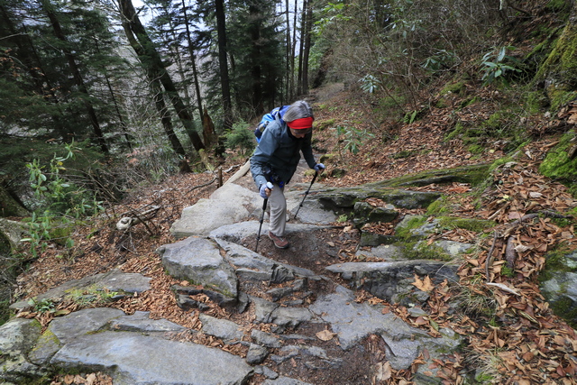
Ed says I swing my walking sticks about too much so he prefers to hike in front of me, which is good as now there are photos of the front of me not just my backside. The uphill started right away.
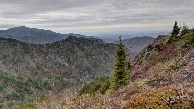
A view along the way.
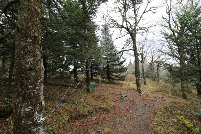
At the 3-mile point is a shelter that overnight hikers use. I don't know how well you can see it but there is a pully system for suspending your food so bears can't get it.
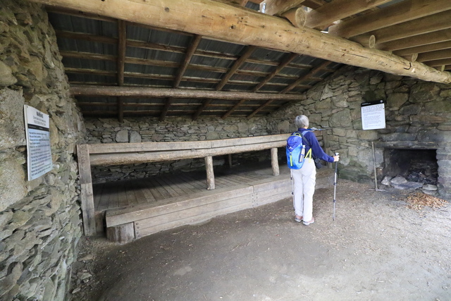
The shelter. The Appalachian Trail was built by the Civilian Conservation Corps (CCC) members and the US Forest Service between 1927 and 1937. Many of the shelters were built during that time period. You can also camp along the trail but only in designated camping area. We talked to several other hikers along the trail. Some of them have been on the trail for about 5 months and are down to the last 10 days or so. Another fellow (who retired this summer) did the northern section of the trail, took a bit of the break and is doing the southern section now. He's planning on taking the winter off and will finish the trail next summer. I really respect the people that can hike this trail. I was pretty tired after my short hike and can't image hiking more than 20 miles most days. The guys we talked to told us that they do have 0 mile days when they go into town, stock up on supplies and maybe even sleep in a real bed.
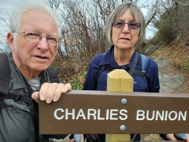
We really need to practice selfies. We made it to Charles Bunion.
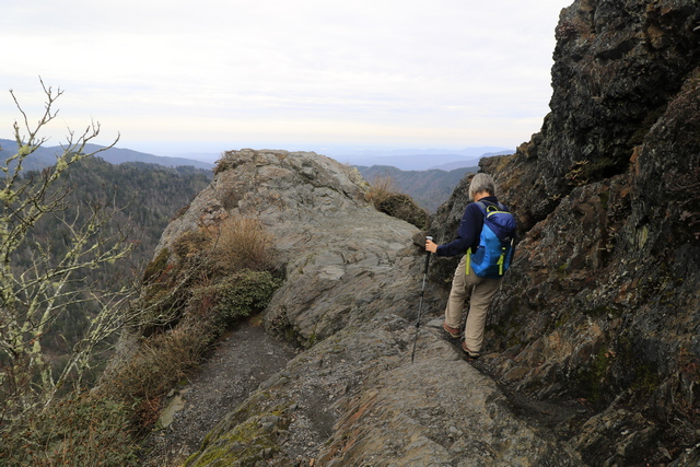
The bump of rock is the actual "Bunion" The next three photos are ones we took when we climbed onto the "Bunion".
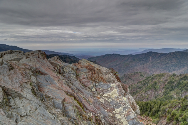
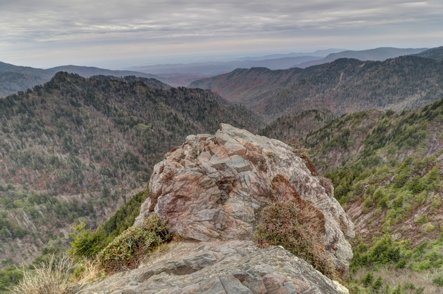
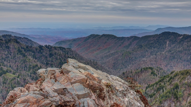
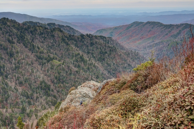
There's more hill above Charles Bunion, which we climbed. Looking down you can see the "bunion". There's a hiker sitting at the bottom of the rock.
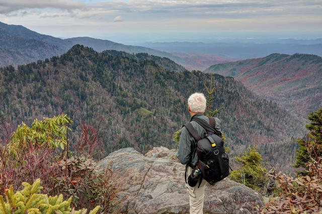
Ed enjoying the view.
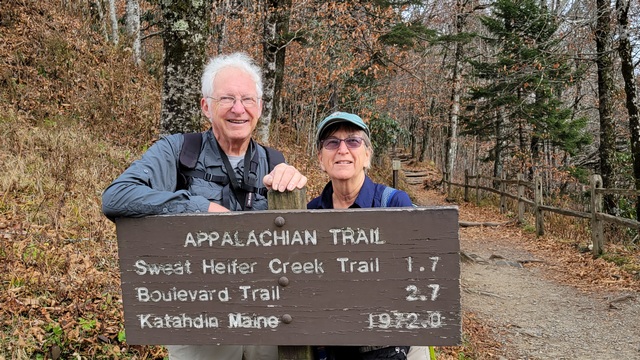
Back at the trailhead. We tried to take another selfie but a wonderful person saw us struggling and offered to take a picture for us.
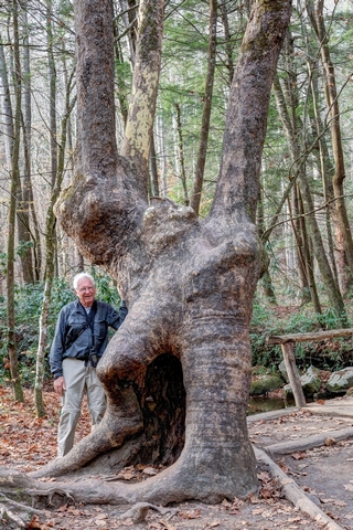
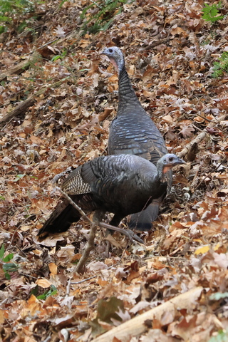
Would you believe we did another hike? Yup, we did. There was a geocache Ed wanted to find and it was on a nature trail by the information center. It was fairly flat and less than 2 miles return. We saw this funky tree and a lot of wild turkeys.
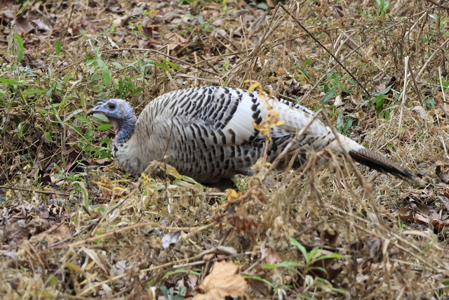
Including this white one. After I googled it, I found out that there are several types of white wild turkeys but it takes 2 recessive genes so there aren't a lot of them.
Ed says I swing my walking sticks about too much so he prefers to hike in front of me, which is good as now there are photos of the front of me not just my backside. The uphill started right away.

A view along the way.
At the 3-mile point is a shelter that overnight hikers use. I don't know how well you can see it but there is a pully system for suspending your food so bears can't get it.
The shelter. The Appalachian Trail was built by the Civilian Conservation Corps (CCC) members and the US Forest Service between 1927 and 1937. Many of the shelters were built during that time period. You can also camp along the trail but only in designated camping area. We talked to several other hikers along the trail. Some of them have been on the trail for about 5 months and are down to the last 10 days or so. Another fellow (who retired this summer) did the northern section of the trail, took a bit of the break and is doing the southern section now. He's planning on taking the winter off and will finish the trail next summer. I really respect the people that can hike this trail. I was pretty tired after my short hike and can't image hiking more than 20 miles most days. The guys we talked to told us that they do have 0 mile days when they go into town, stock up on supplies and maybe even sleep in a real bed.

We really need to practice selfies. We made it to Charles Bunion.
The bump of rock is the actual "Bunion" The next three photos are ones we took when we climbed onto the "Bunion".


There's more hill above Charles Bunion, which we climbed. Looking down you can see the "bunion". There's a hiker sitting at the bottom of the rock.

Ed enjoying the view.

Back at the trailhead. We tried to take another selfie but a wonderful person saw us struggling and offered to take a picture for us.

Would you believe we did another hike? Yup, we did. There was a geocache Ed wanted to find and it was on a nature trail by the information center. It was fairly flat and less than 2 miles return. We saw this funky tree and a lot of wild turkeys.
Including this white one. After I googled it, I found out that there are several types of white wild turkeys but it takes 2 recessive genes so there aren't a lot of them.
2022/11/01: Cades Cove and Abram Falls
Category: General
Posted by: The Agnew Family
It's a lot busier in Gatlinburg than I expected. My sister had warned
me, saying it's always busy in Gatlinburg, so now I'm wondering how busy
the Great Smoky Mountain National Park is going to be. Today we are
driving to the western side of the park to drive the Cades Cove Loop
Road and to hike the Abrams Falls Trail. This is the one of the most
visited areas of the park. The loop is an 11 mile, one way road that
goes through an area that was settled in the early 1800s. A few of the
original buildings still stand in their original locations, others have
been moved closer to the road.
It's pretty hazy today, which is apparently pretty normal for the Smoky Mountains. The blue, smoky look is how the mountains got their name.
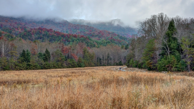
The first stop on the loop is the John Oliver Place. The building is original, built in 1826 and is in its original location so it's a bit walk in from the road.
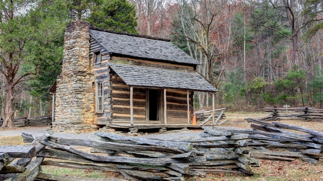
John Oliver Place. We were told that additions were added to the cabin over the years but were removed by the park service to show the original cabin.
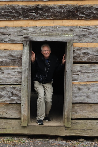
By the height of the door frame, you'd think that people in the early 1800s were short. Apparently, that's not the case. John Oliver was not tall as he came from a city but his son that was raised in the country was over 6 feet tall.
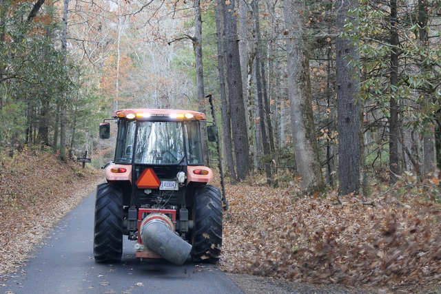
I think that this was Ed's most favourite thing today --- yes, he wants one. This tractor with a blower attachment cleaned the parking areas on the side of the road. If the leaves stayed, no one would find designated parking areas.
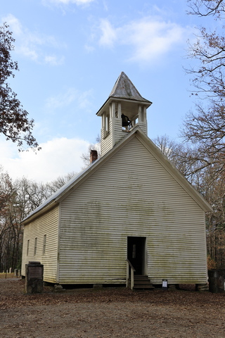
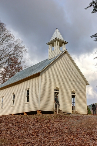
There were several churches along the loop. The one on the left is the Primitive Baptist Church. The one on the right is the Methodist Church. This church did not separate the congregation (women on one side, men on the other) but borrowed the planes from a church that did thus 2 doors.
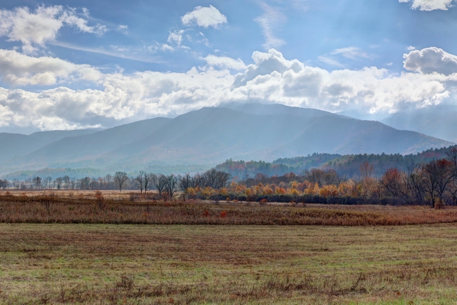
The homes were built in hillier locations but there was lots of flat land for farming.
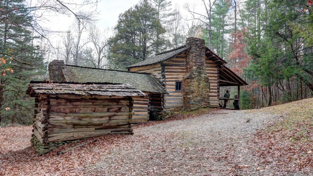
Elijah Oliver Place. Elijah was John's son. This cabin is also original with all the additions left on the cabin. It was a 1/2 mile walk into the cabin. One of the interesting additions was the "stranger room" built onto the front porch. If a traveler needed a place to stay they were given the room on the front porch keeping them separate from the rest of the family.
Halfway along the loop is the trail head for the Abrams Falls Trail. The trail is 5 miles (or 8 km) return trip and has a couple of good hills.
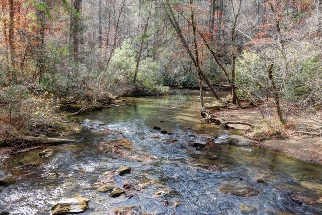
Much of the trail followed Mill Creek.
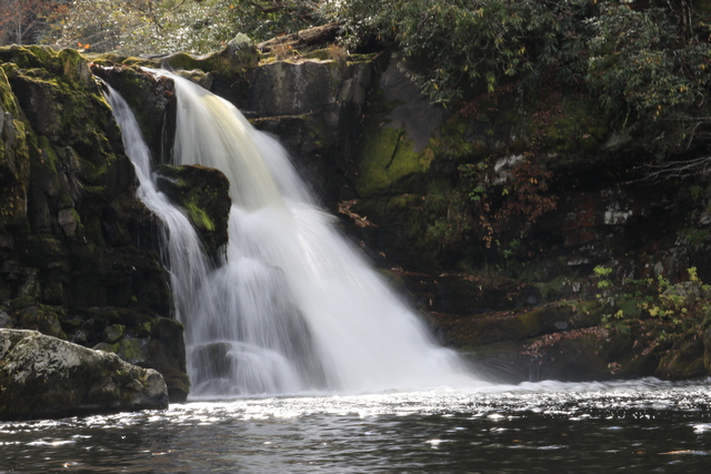
The Abrams Falls.
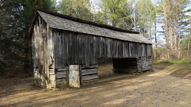
You can tell you are in a weather zone very different from the one in southern Ontario. Some of the barns were built so you could drive the wagon under it and stand in the wagon to offload. The two side areas housed animals when necessary and the hay, etc. were stored in the upper part of the bar.
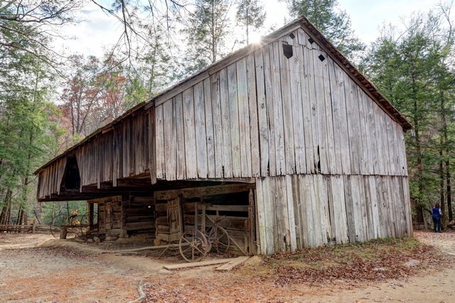
Other barns were cantilevered so wagons, etc. could be stored outside but somewhat protected.
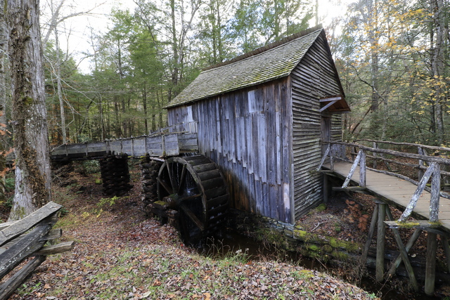
The old mill building.
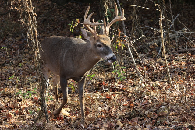
We have lots of deer at home but we couldn't resist taking this guy's photo. He calmly walked about not caring about all the people milling around watching him. He walked into an open field in the middle of the mill site.
We were about 5 miles from the end of the loop road when we ran into stop and go traffic. It didn't make sense as the traffic hadn't been too bad earlier in the day. After travelling about 3 miles in an hour we learned the reason for the slow traffic. Everyone was stopping to look at the bear.
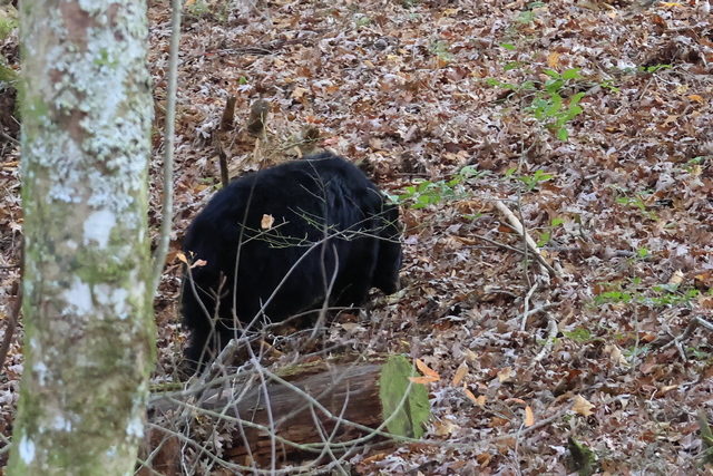
Ed was very growly so we didn't pull over to take pictures. I grabbed this one in the 10 seconds that he was stopped.
It's pretty hazy today, which is apparently pretty normal for the Smoky Mountains. The blue, smoky look is how the mountains got their name.

The first stop on the loop is the John Oliver Place. The building is original, built in 1826 and is in its original location so it's a bit walk in from the road.

John Oliver Place. We were told that additions were added to the cabin over the years but were removed by the park service to show the original cabin.
By the height of the door frame, you'd think that people in the early 1800s were short. Apparently, that's not the case. John Oliver was not tall as he came from a city but his son that was raised in the country was over 6 feet tall.
I think that this was Ed's most favourite thing today --- yes, he wants one. This tractor with a blower attachment cleaned the parking areas on the side of the road. If the leaves stayed, no one would find designated parking areas.

There were several churches along the loop. The one on the left is the Primitive Baptist Church. The one on the right is the Methodist Church. This church did not separate the congregation (women on one side, men on the other) but borrowed the planes from a church that did thus 2 doors.

The homes were built in hillier locations but there was lots of flat land for farming.

Elijah Oliver Place. Elijah was John's son. This cabin is also original with all the additions left on the cabin. It was a 1/2 mile walk into the cabin. One of the interesting additions was the "stranger room" built onto the front porch. If a traveler needed a place to stay they were given the room on the front porch keeping them separate from the rest of the family.
Halfway along the loop is the trail head for the Abrams Falls Trail. The trail is 5 miles (or 8 km) return trip and has a couple of good hills.

Much of the trail followed Mill Creek.
The Abrams Falls.
You can tell you are in a weather zone very different from the one in southern Ontario. Some of the barns were built so you could drive the wagon under it and stand in the wagon to offload. The two side areas housed animals when necessary and the hay, etc. were stored in the upper part of the bar.

Other barns were cantilevered so wagons, etc. could be stored outside but somewhat protected.
The old mill building.
We have lots of deer at home but we couldn't resist taking this guy's photo. He calmly walked about not caring about all the people milling around watching him. He walked into an open field in the middle of the mill site.
We were about 5 miles from the end of the loop road when we ran into stop and go traffic. It didn't make sense as the traffic hadn't been too bad earlier in the day. After travelling about 3 miles in an hour we learned the reason for the slow traffic. Everyone was stopping to look at the bear.
Ed was very growly so we didn't pull over to take pictures. I grabbed this one in the 10 seconds that he was stopped.