2022/07/16: More of PEI
Category: General
Posted by: The Agnew Family
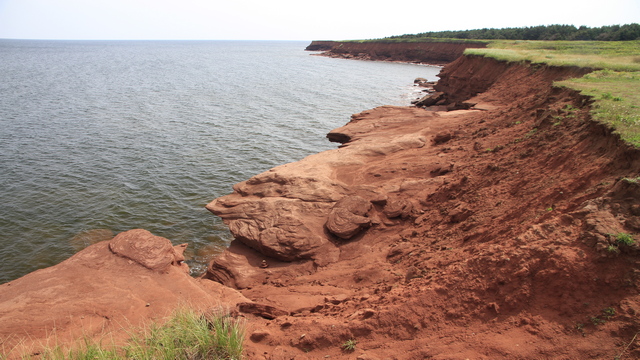
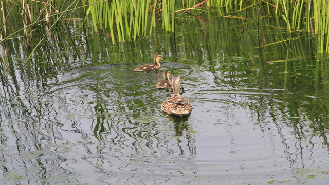
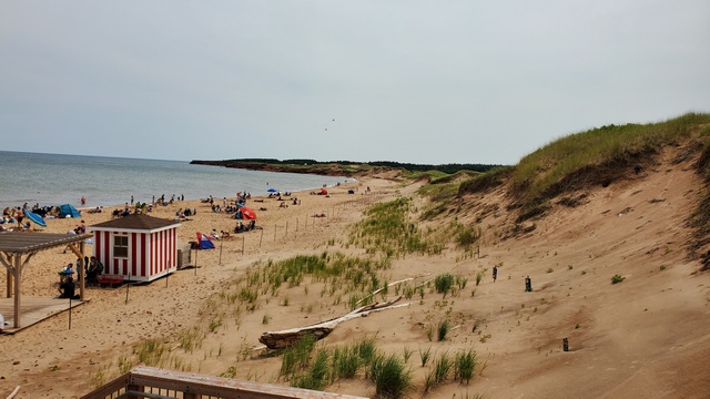
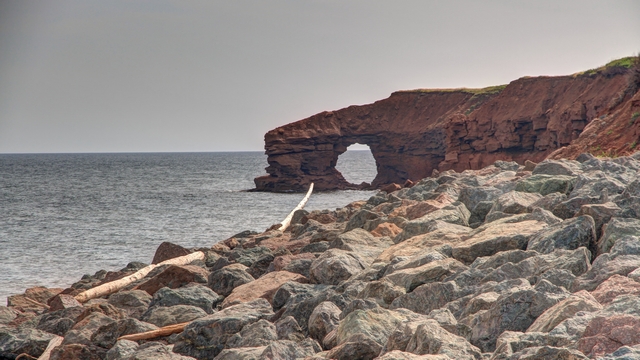
Tomorrow Ed and I start the drive home. We're both tired and ready to go
home so we decided to take it easy today and just drove around the
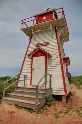
National Park. Here's a few photos we took today.


2022/07/15: Driving East
Category: General
Posted by: The Agnew Family
It had rained during the night and wasn't ready to give up the drizzle
and grey skies. Our plan was to drive to East Point Lighthouse, so off
we went hoping for clearing weather.
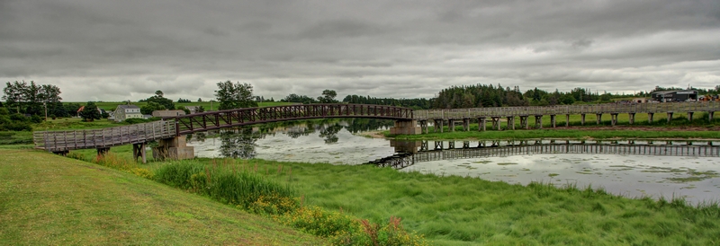
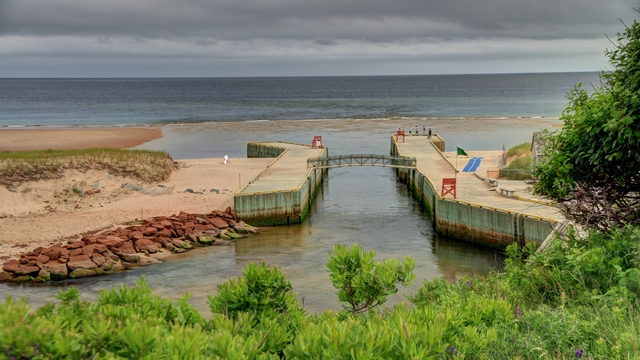
A bridge in St. Peters Bay.
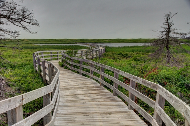
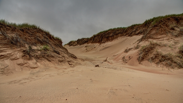
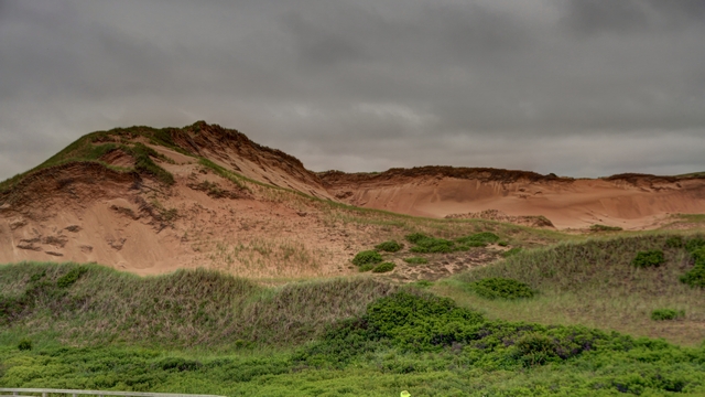
The Greenwich section of the PEI National Park has beautiful trail that takes you through different natural habitats and ends at the beach. The big highlight is the large sand dunes.
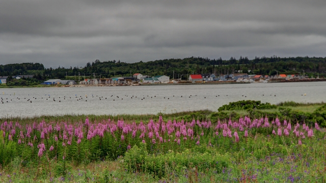
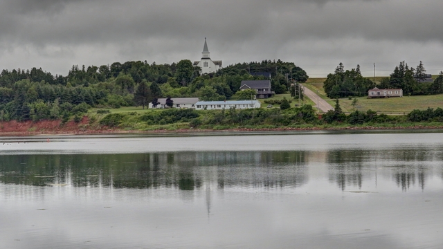
Looking across St. Peters Bay.
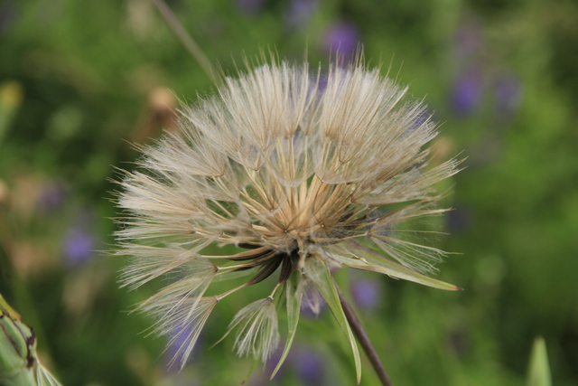
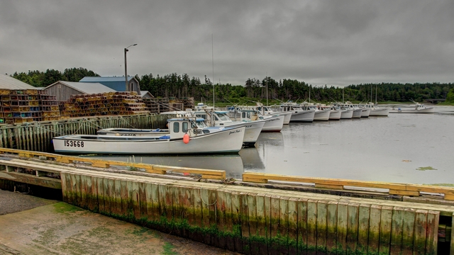
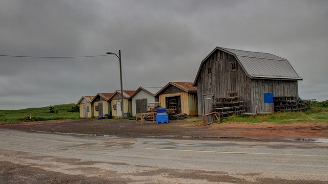
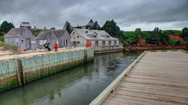
After a lot of searching we managed to find a couple of small harbours. As the harbours were dead quiet I don't think anything was in season here unlike in Nova Scotia.
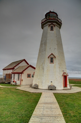
The lighthouse at East Point.
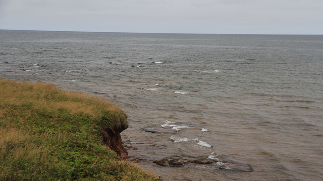
This is not a very exciting photo but I hope you can see what I took the photo of. At East Point, water converges from two directions. If you look closely you can see the waves coming from different directions.
We stopped at Basin Head Provincial Park to hear the sand sing. I don't know if we actually heard the singing but we did enjoy the beach.
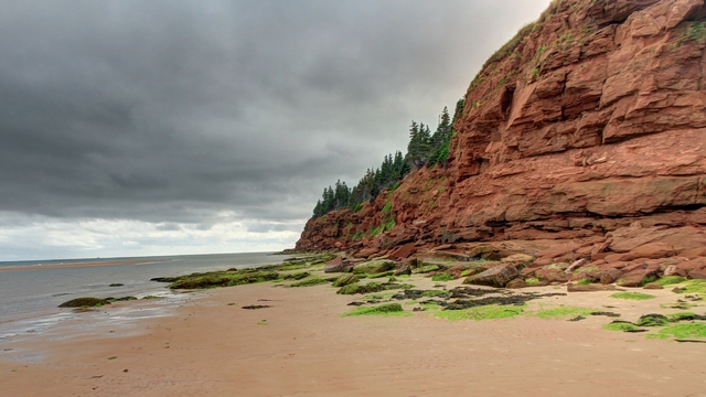
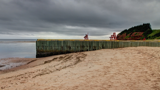
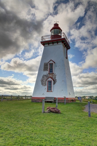
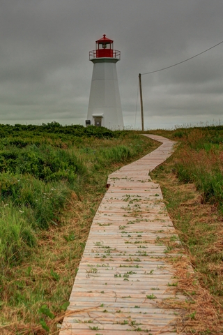
The lighthouse in Souris and another one we saw along the way. There's lots of lighthouses in PEI.
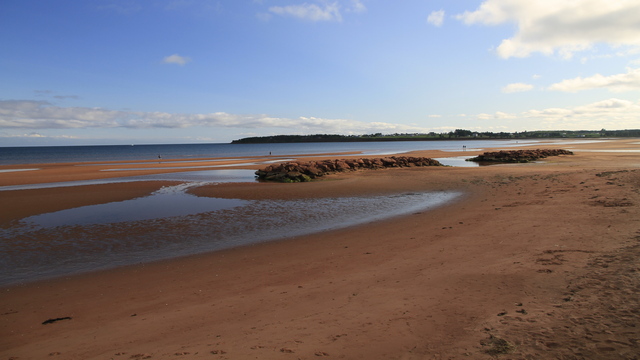
The sun finally came out and lit up the beach in Souris


A bridge in St. Peters Bay.
The Greenwich section of the PEI National Park has beautiful trail that takes you through different natural habitats and ends at the beach. The big highlight is the large sand dunes.


Looking across St. Peters Bay.
After a lot of searching we managed to find a couple of small harbours. As the harbours were dead quiet I don't think anything was in season here unlike in Nova Scotia.


The lighthouse at East Point.
This is not a very exciting photo but I hope you can see what I took the photo of. At East Point, water converges from two directions. If you look closely you can see the waves coming from different directions.
We stopped at Basin Head Provincial Park to hear the sand sing. I don't know if we actually heard the singing but we did enjoy the beach.


The lighthouse in Souris and another one we saw along the way. There's lots of lighthouses in PEI.
The sun finally came out and lit up the beach in Souris
2022/07/14: Off to PEI
Category: General
Posted by: The Agnew Family
PEI is the last destination on our trip east. Our first thought had been
to drive across Nova Scotia and drive the bridge to PEI. A week or so
ago, we rethought the idea and decided to take the ferry. I'm sure we
didn't save any time, in fact it probably took longer because of having
to arrive early for the ferry, but it was much more enjoyable.
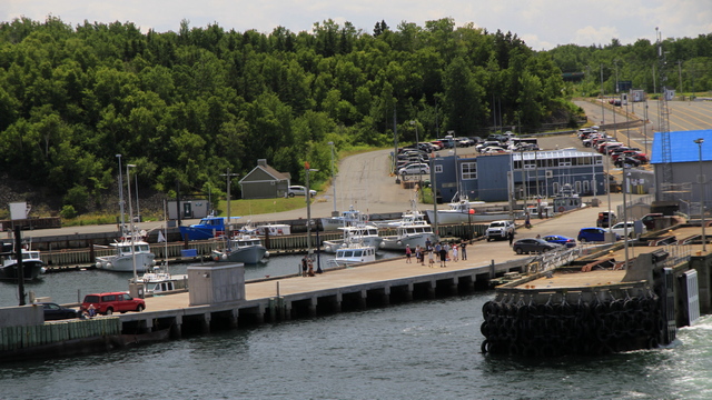
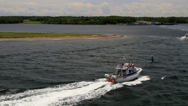
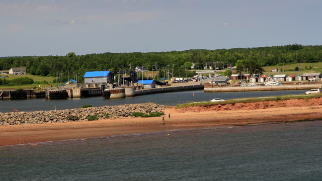
The ferry dock in Caribou NS.
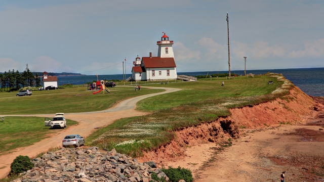
The lighthouse on Wood Islands PEI
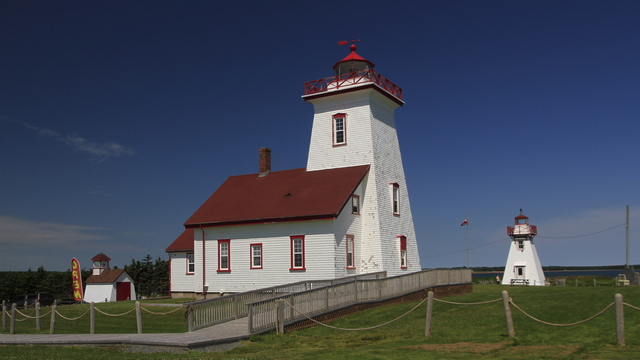
This group of lights is referred to as Wood Islands "Family" of Lighthouses. There's actually 1 lighthouse and 2 range lights. The lighthouse is still used, but the range lights were replaced but happily preserved.
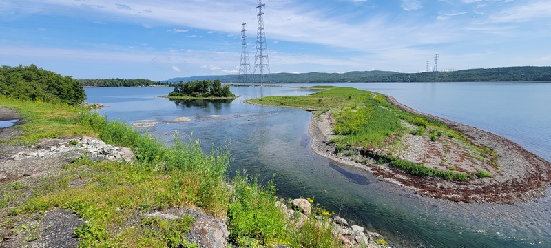
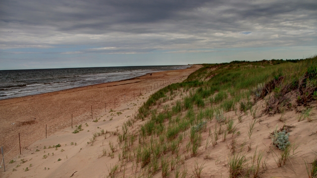
Brackley Beach which is less than 5 minutes from the cottage we rented.
The ferry dock in Caribou NS.

The lighthouse on Wood Islands PEI
This group of lights is referred to as Wood Islands "Family" of Lighthouses. There's actually 1 lighthouse and 2 range lights. The lighthouse is still used, but the range lights were replaced but happily preserved.


Brackley Beach which is less than 5 minutes from the cottage we rented.
2022/07/13: Last Day on the Cabot Trail
Category: General
Posted by: The Agnew Family
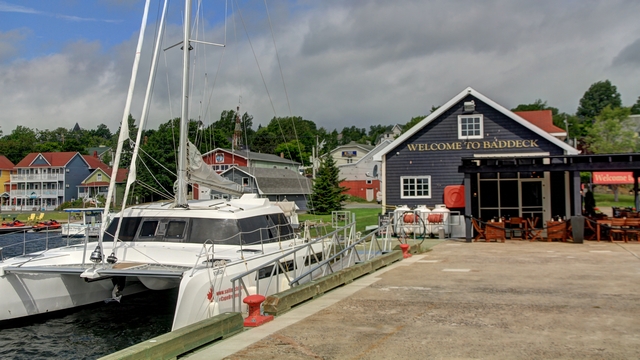
We finished driving on the Cabot Trail and ended up in Baddeck.
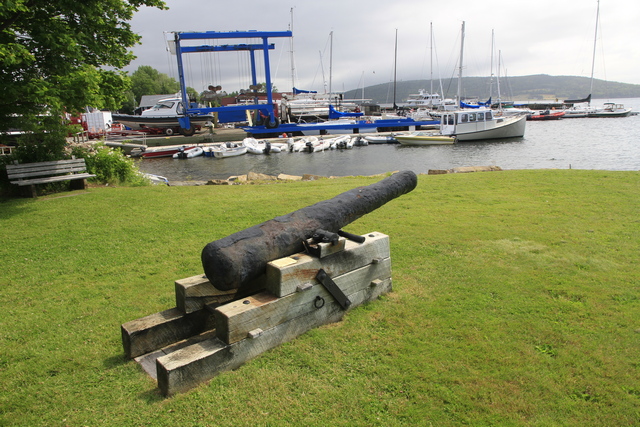
A cannon from 1757 that was lost as see due to a hurricane. An RCMP officer found the cannon in 1939.
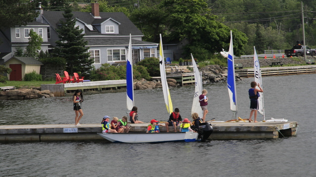
Lots of activity near the dock on Bras D'or Lake.
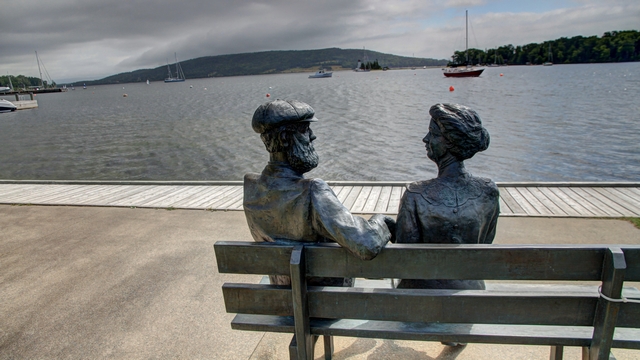
A sculpture of Alexander Graham Bell and his wife Mabel.
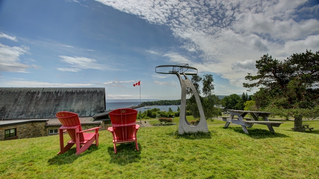
A view from the top of the hill at the Alexander Graham Bell Historical Site.
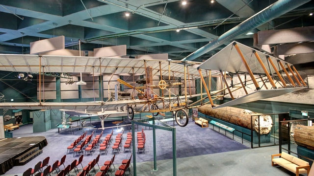
One of exhibits. Ed and I both think the museum is not as good as it was early 90's when we last visited. It's possible our memory is incorrect.
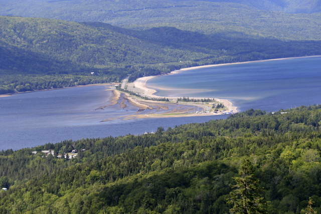
A look off on the highway looking down at the spit by the Englishtown Ferry.

A cannon from 1757 that was lost as see due to a hurricane. An RCMP officer found the cannon in 1939.
Lots of activity near the dock on Bras D'or Lake.

A sculpture of Alexander Graham Bell and his wife Mabel.

A view from the top of the hill at the Alexander Graham Bell Historical Site.

One of exhibits. Ed and I both think the museum is not as good as it was early 90's when we last visited. It's possible our memory is incorrect.
A look off on the highway looking down at the spit by the Englishtown Ferry.
2022/07/12: Only a 5km easier hike today
Category: General
Posted by: The Agnew Family
We drove up to Neils Harbour that is on the Cabot Trail then drove a
short distance on an alternate road to New Haven. We didn't quite match
up to where we drove from the west side, but the piece we missed is not
on the water.
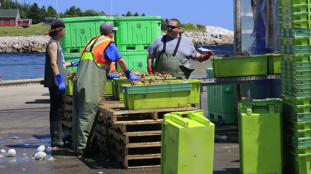
Part of todays crab catch. This harbour has a processing plant. They remove the legs, trim them, freeze them then ship the snow crab legs.
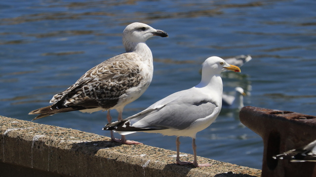
A couple of freeloaders waiting for scraps.
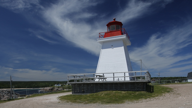
The lighthouse at Neils Harbour.
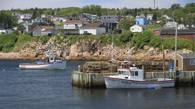
Neils Harbour, part of the Harbour and Part of the town. The town was lot bigger than we thought as it had a grocery store, a pharmacy and everything else a small town would need.
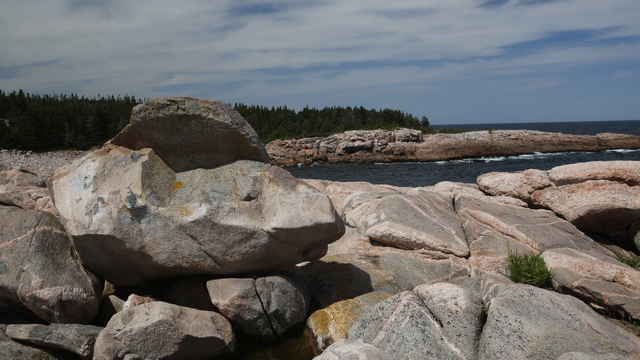
Green Cove is a little rocky peninsula. It's amazing that anything grows on this peninsula but there are some flowers, small trees, bushes, etc.
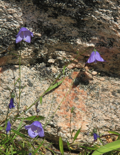
Ed says that this photo doesn't have any eye candy but I think it show resilience.
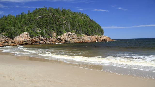
Black Brook Beach, again not eye candy but it's a nice sandy beach.
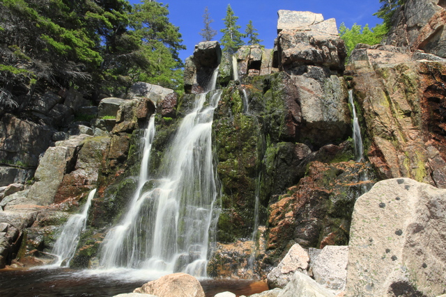
If you walk to the end of the beach, scramble over some rocks you are rewarded with this waterfall. The water doesn't have as much water coming over the cliff as it can.
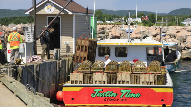
A harbour at Ingoish. It must be the end of lobster season as they were removing the lobster traps from the boat.
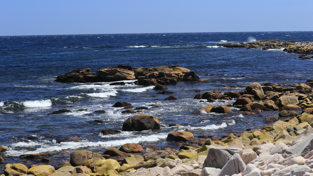
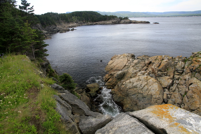
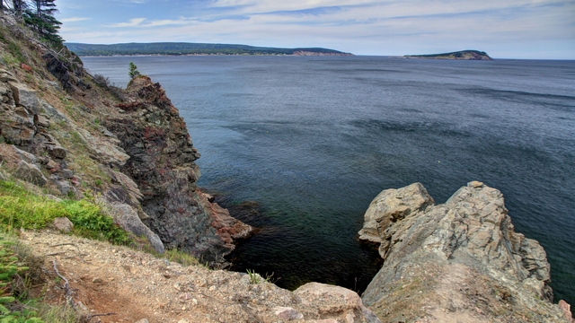
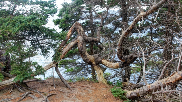
We decided to do a 3.8km return hike on Middle Head .... the description is a little off as you get to a 2 mile marker a little bit off. Before you reach the end of the trail there is 2 mile marker. Doing some simple math the trail is at least 4 km long. Ed said we did about 5km. It was a well maintained trail so it was really nice to walk. Middle is were the Keltic Lodge is (a resort run by Parks Canada) and we could see the buildings at the end of yesterday's hike.
 \
\
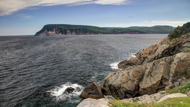
Looking at Cape Smoky from the end of today's trail. Even with binoculars we couldn't tell where the end of yesterday's trail was.
Part of todays crab catch. This harbour has a processing plant. They remove the legs, trim them, freeze them then ship the snow crab legs.
A couple of freeloaders waiting for scraps.
The lighthouse at Neils Harbour.
Neils Harbour, part of the Harbour and Part of the town. The town was lot bigger than we thought as it had a grocery store, a pharmacy and everything else a small town would need.
Green Cove is a little rocky peninsula. It's amazing that anything grows on this peninsula but there are some flowers, small trees, bushes, etc.
Ed says that this photo doesn't have any eye candy but I think it show resilience.
Black Brook Beach, again not eye candy but it's a nice sandy beach.
If you walk to the end of the beach, scramble over some rocks you are rewarded with this waterfall. The water doesn't have as much water coming over the cliff as it can.
A harbour at Ingoish. It must be the end of lobster season as they were removing the lobster traps from the boat.
We decided to do a 3.8km return hike on Middle Head .... the description is a little off as you get to a 2 mile marker a little bit off. Before you reach the end of the trail there is 2 mile marker. Doing some simple math the trail is at least 4 km long. Ed said we did about 5km. It was a well maintained trail so it was really nice to walk. Middle is were the Keltic Lodge is (a resort run by Parks Canada) and we could see the buildings at the end of yesterday's hike.


 \
\Looking at Cape Smoky from the end of today's trail. Even with binoculars we couldn't tell where the end of yesterday's trail was.
2022/07/11: A Hiking Day
Category: General
Posted by: The Agnew Family
Ed and I decided to go for a hike today and picked the trail in Cape
Smoky Provincial Park. A trail guide book at the Airbnb said the trail
was 11 km long and a rating of 3. It said a rating of 1 or 2 was for
novice hikers and ratings of 4 and 5 were a lot more challenging, so we
figured we would be good with a rating 3. It turned out the hike was
more than 12.6 km and either with didn't understand was a rating of 3
was or the rating has changed since the book was printed.
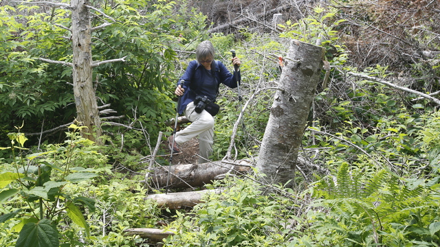
Some parts of the trail were easy walking others were a little harder. Oh yeah, lots of steep hills and boggy spots.
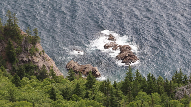
Cape Smoky is the highest peak you actually drive up and over, so there were some great views looking down over the side.
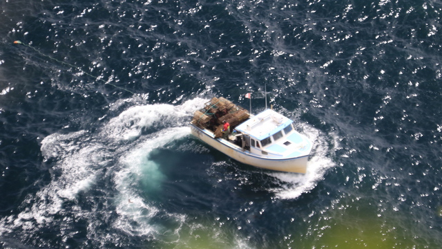
We weren't sure if the boat was pulling the lobster traps out or putting the traps in. I don't know what fishing area we're in so I don't know what's in season.
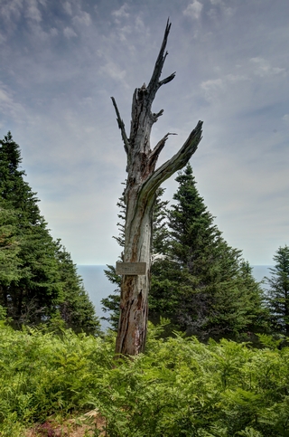
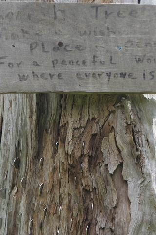
The sign reads "Wish Tree, Make a Wish, Place a penny for a peaceful world where everyone is Equal". Looks like a lot of quarters are in the tree.
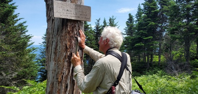
Ed added a coin. Some peace in the world would be good right now.
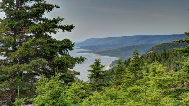
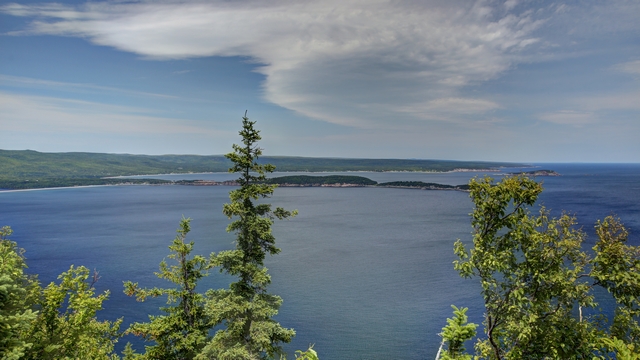
The view from the end of the trail.
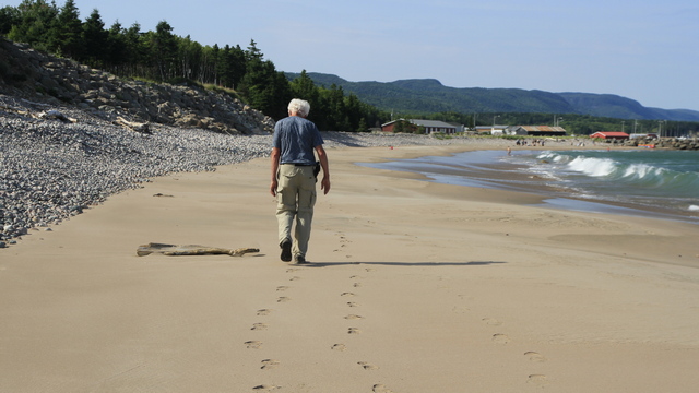
After the hike we found a beach and went for a short relaxing walk.
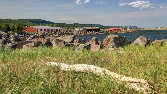
Some parts of the trail were easy walking others were a little harder. Oh yeah, lots of steep hills and boggy spots.
Cape Smoky is the highest peak you actually drive up and over, so there were some great views looking down over the side.
We weren't sure if the boat was pulling the lobster traps out or putting the traps in. I don't know what fishing area we're in so I don't know what's in season.

The sign reads "Wish Tree, Make a Wish, Place a penny for a peaceful world where everyone is Equal". Looks like a lot of quarters are in the tree.

Ed added a coin. Some peace in the world would be good right now.


The view from the end of the trail.
After the hike we found a beach and went for a short relaxing walk.

2022/07/10: Another Travel Day, But Not Far
Category: General
Posted by: The Agnew Family
We moved from one location to another and it didn't rain. Now the move
wasn't far, just from Cheticamp on one side of the Cabot Trail to
Englishtown on the other side (115 km).
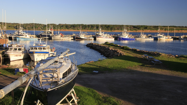
The early morning sun made the boats in the harbour look so pretty so I couldn't resist one more photo taken from the deck of the Airbnb.
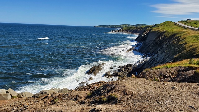
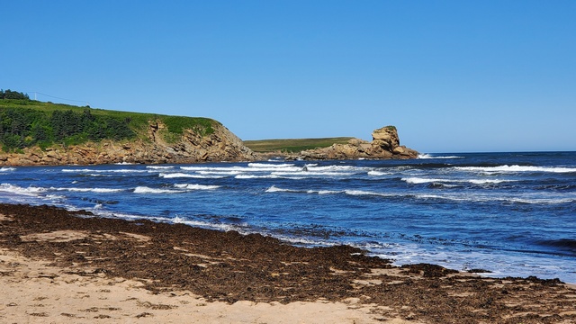
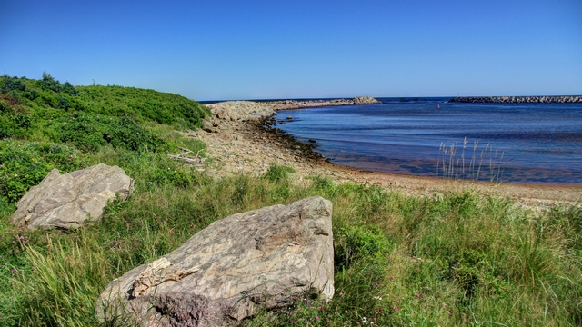
As we drove south along the Cabot Trail we took a few more shots of the coast.
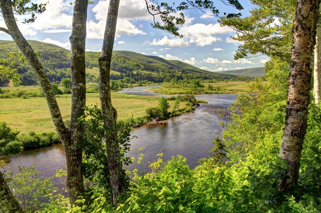
On the drive to Baddeck we followed a river for a while.
About 15 km north of Baddeck is the Uisage Ban Provincial Park and Waterfall. The hike into the falls followed Falls Brook. A local resident said that falls had a lot more water than usual. The waterfall has a bend in it so you can either see the top section of the falls or the lower section.
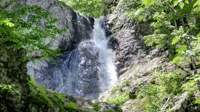
The top of the falls.
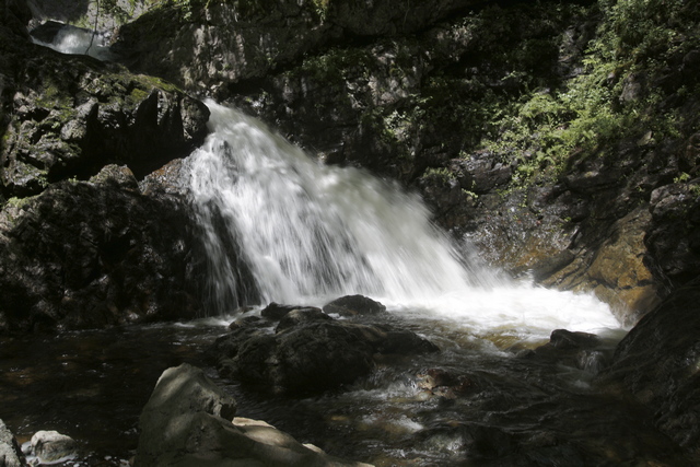
The bottom of the falls.
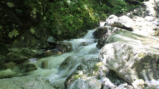
Just a water shot.
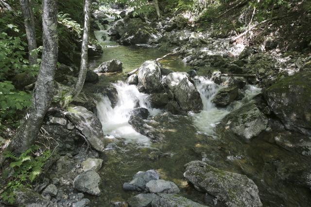
Some rapids in Falls Brook.
A family with 3 young boys was walking out about the same time we did. The youngest one was in a carrier on dad's back but the other two were either related to billy goats or spider man. They were racing around the rocks and climbing everything. They appeared on the rock when I was trying to take a photo of the tree, so they posed for me.
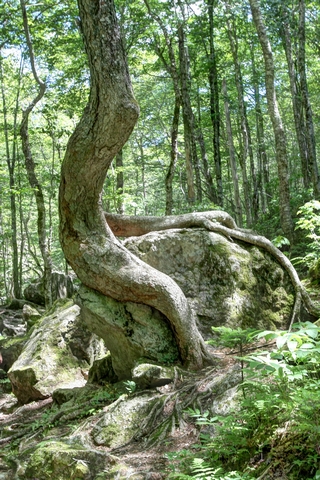
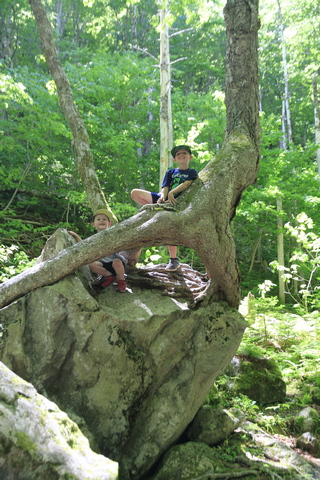
I love how resourceful trees are, they'll grow anywhere.
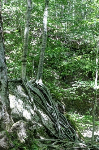
These trees look like they belong in the enchanted forest, any second they could get up and start walking.
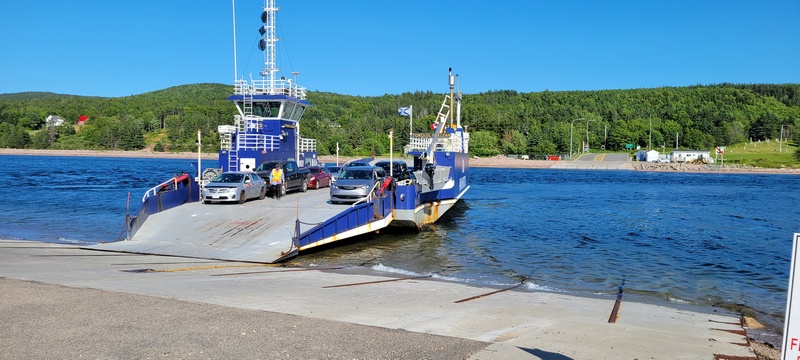
Englishtown has a ferry that takes you across a short bit of water (about a 3 minute ferry ride) so you can join up to the Cabot Trail. As the ferry is a 2 minute walk from the cottage we've rented we decided to take a ride then walk on the beach.
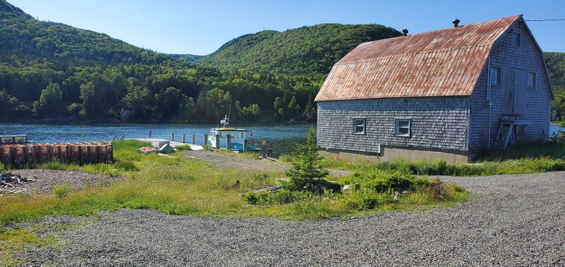
Not sure if the building is a boat house or a barn. We presume the person living there is a lobster fisherman as there were traps and a boat.
Two fairly major events happened on Friday, Rogers had a major outage and a fuel tank containing 600,000 litres of gas was punctured in Sidney, Cape Bretton NS. The Rogers outage minorly affected us as were not using the phones, computers or bankcards much (credit cards still worked where we were). The fuel issue may cause us a problems. Luckily, we filled the truck when we got back to Cheticamp last night. About a half hour after we filled up the gas station put up "out of fuel" signs. This situation in Cape Bretton has become common place. Hopefully, fuel will be shipped to the gas stations soon.
The early morning sun made the boats in the harbour look so pretty so I couldn't resist one more photo taken from the deck of the Airbnb.
As we drove south along the Cabot Trail we took a few more shots of the coast.


On the drive to Baddeck we followed a river for a while.

About 15 km north of Baddeck is the Uisage Ban Provincial Park and Waterfall. The hike into the falls followed Falls Brook. A local resident said that falls had a lot more water than usual. The waterfall has a bend in it so you can either see the top section of the falls or the lower section.

The top of the falls.
The bottom of the falls.
Just a water shot.
Some rapids in Falls Brook.
A family with 3 young boys was walking out about the same time we did. The youngest one was in a carrier on dad's back but the other two were either related to billy goats or spider man. They were racing around the rocks and climbing everything. They appeared on the rock when I was trying to take a photo of the tree, so they posed for me.

I love how resourceful trees are, they'll grow anywhere.

These trees look like they belong in the enchanted forest, any second they could get up and start walking.
Englishtown has a ferry that takes you across a short bit of water (about a 3 minute ferry ride) so you can join up to the Cabot Trail. As the ferry is a 2 minute walk from the cottage we've rented we decided to take a ride then walk on the beach.


Not sure if the building is a boat house or a barn. We presume the person living there is a lobster fisherman as there were traps and a boat.
Two fairly major events happened on Friday, Rogers had a major outage and a fuel tank containing 600,000 litres of gas was punctured in Sidney, Cape Bretton NS. The Rogers outage minorly affected us as were not using the phones, computers or bankcards much (credit cards still worked where we were). The fuel issue may cause us a problems. Luckily, we filled the truck when we got back to Cheticamp last night. About a half hour after we filled up the gas station put up "out of fuel" signs. This situation in Cape Bretton has become common place. Hopefully, fuel will be shipped to the gas stations soon.
2022/07/09: More Hiking, a Buddhist Temple and Crabs
Category: General
Posted by: The Agnew Family
It was off into the National Park again today for some more hiking.
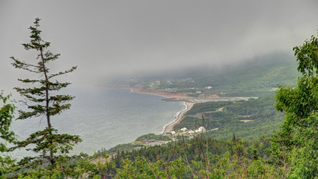
The drive to the first trail head was a little foggy.
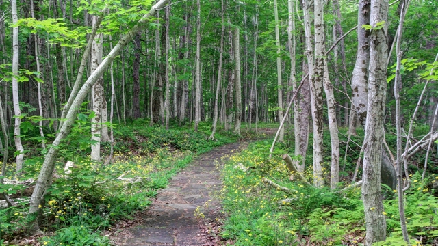
The first trail was in an old hardwood forest.
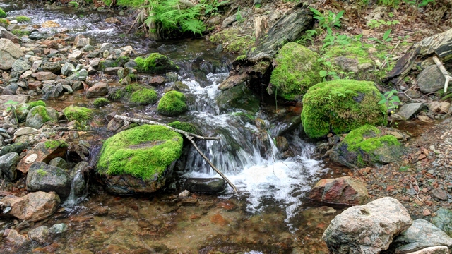
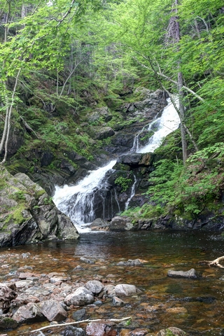
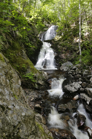
Two of the hikes took us to waterfalls.
After the hikes we drove to Pleasant Bay and followed a road that followed the shore and wound through the hills. Eventually we came across the Gampo Abby a Buddhist monastery that was established in 1983.
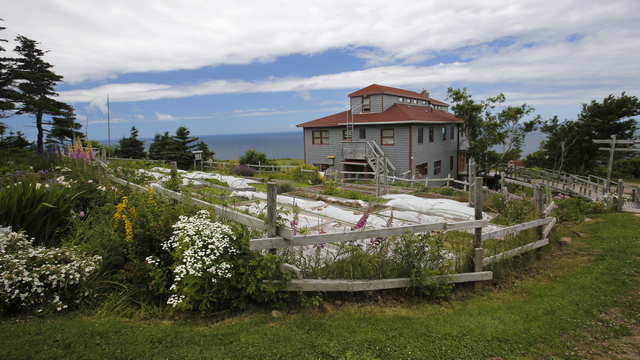
One of the buildings and the gardens at the abbey.

The Stupa of Enlightenment. Information Boards explained the Stupa and what was involved in creating it. It was very interesting.
We stopped off at the Pleasant Bay Harbour.
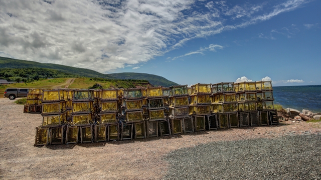
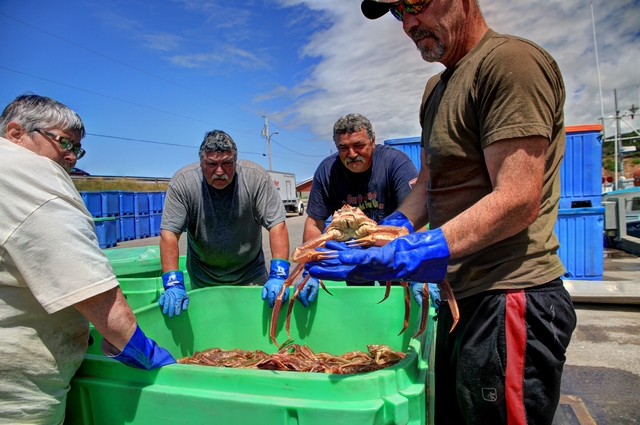
A crab boat was unloading. The guys were really friendly and were happy to show off the crabs. The first day of crabbing was very successful.
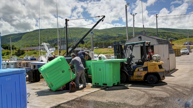
Working hard weighing and packing the live crab for shipment. These ones were destined for New Brunswick.
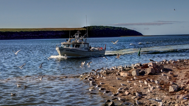
Back at the wharf in Cheticamp, where they were also busy unloading crabs. Here's a boat loaded with crabs coming into the harbour.
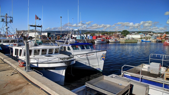

The drive to the first trail head was a little foggy.

The first trail was in an old hardwood forest.


Two of the hikes took us to waterfalls.
After the hikes we drove to Pleasant Bay and followed a road that followed the shore and wound through the hills. Eventually we came across the Gampo Abby a Buddhist monastery that was established in 1983.
One of the buildings and the gardens at the abbey.

The Stupa of Enlightenment. Information Boards explained the Stupa and what was involved in creating it. It was very interesting.
We stopped off at the Pleasant Bay Harbour.


A crab boat was unloading. The guys were really friendly and were happy to show off the crabs. The first day of crabbing was very successful.

Working hard weighing and packing the live crab for shipment. These ones were destined for New Brunswick.

Back at the wharf in Cheticamp, where they were also busy unloading crabs. Here's a boat loaded with crabs coming into the harbour.

2022/07/08: Hiking and Flowers
Category: General
Posted by: The Agnew Family
This is the first day of the crab season and lots of people were up to
see the boats head out at 5am including John and Carol. Everyone who
knows Ed won't be surprised to know that he was sound asleep in bed at 5
am --- he thinks it's still the middle of night if he has to get up at
7am.
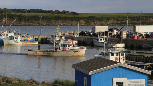
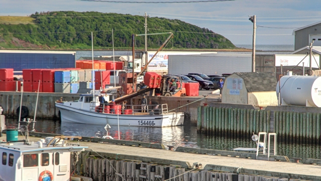
By 8 am boats were returning to the harbour and loading up with ice. This evening the habour is full of refrigeration trucks waiting to whisk away the first day's catch of crabs. The crab fisherman we spoke with said a lot of crabs are shipped to Japan.
We decided to do some hiking today. The first trail we did is called Skyline and is the most popular hike in the park. Here's some photos from the hike.

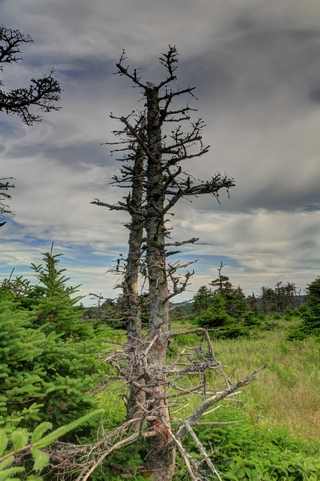
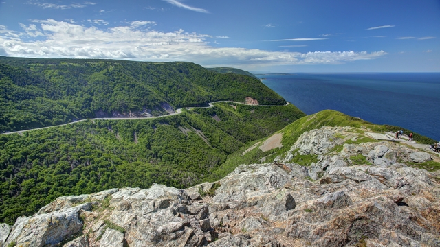
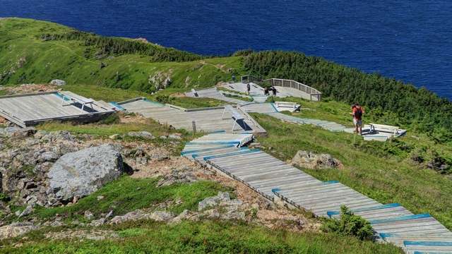
There's a lot of stairs before you get to the final viewing platform. The photo shows a small portion of them.
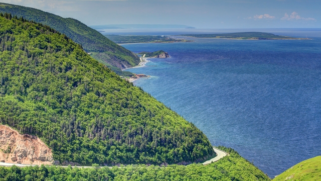
This is very similar to one I posted but it's such a pretty view.
The French Mountain Bog has a really nice boardwalk trail. There were lots of pretty flowers along the trail. Here's photos of some of them.
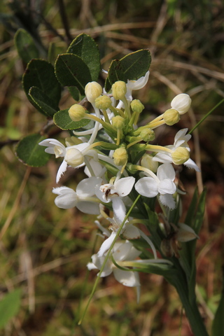
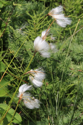
White Fringed Orchis and Cotton Grass.
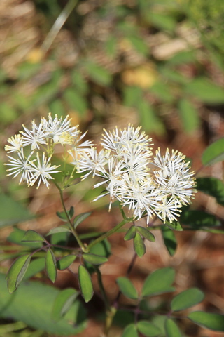
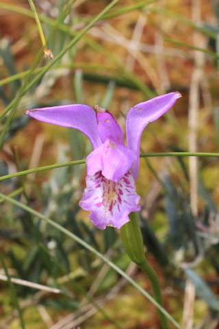
A google image search thinks this white flower is Labrador Tea, Dragon's Mouth
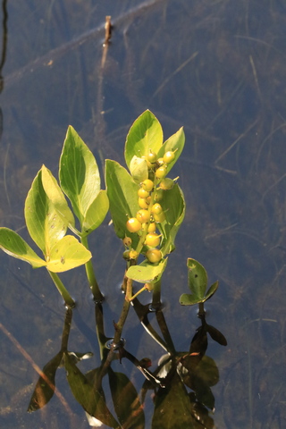
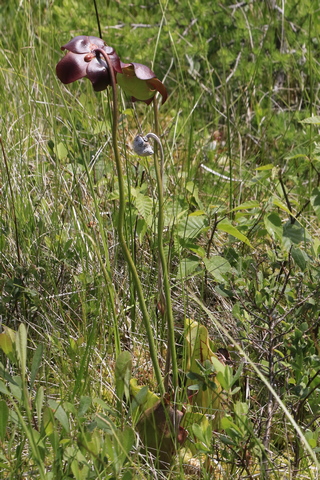
Bog Buckbean, Pitcher Plant
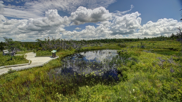
One of several small ponds. I loved the clouds.
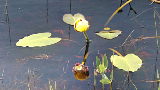
The water is very dark, almost a red brown colour, great for reflections.
The last walk in the park today was Benjie's Lake. It's a 1 1/2 km walk through a bush, then through fields filled with ferns.
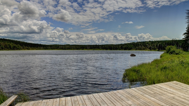
The lake. Again, this lake had a very dark red brown colour.
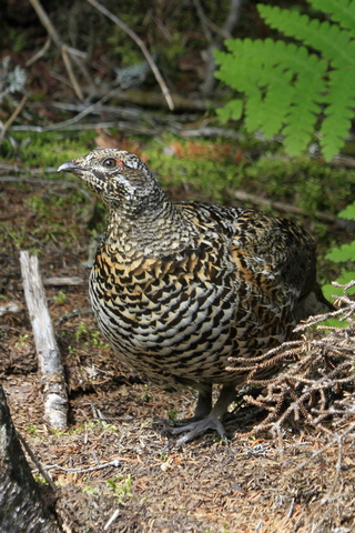

On the hike out we came across this Ruffed Grouse (according to google image search) and some chicks.
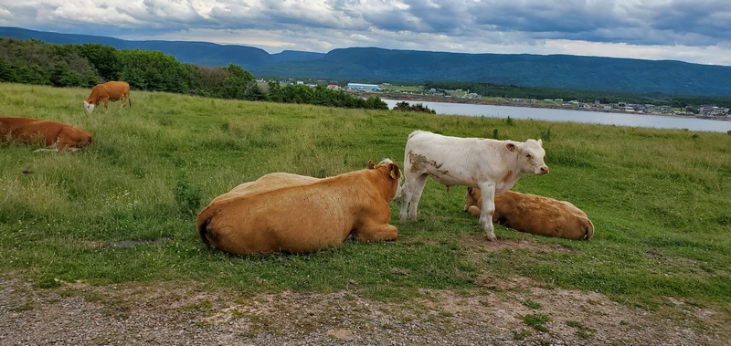
Cheticamp Island is just off the shore from Cheticamp. There's not a lot on the island --- a few houses, a great beach, a lot of telecommunications equipment, a lighthouse and some cows.

By 8 am boats were returning to the harbour and loading up with ice. This evening the habour is full of refrigeration trucks waiting to whisk away the first day's catch of crabs. The crab fisherman we spoke with said a lot of crabs are shipped to Japan.
We decided to do some hiking today. The first trail we did is called Skyline and is the most popular hike in the park. Here's some photos from the hike.


There's a lot of stairs before you get to the final viewing platform. The photo shows a small portion of them.

This is very similar to one I posted but it's such a pretty view.
The French Mountain Bog has a really nice boardwalk trail. There were lots of pretty flowers along the trail. Here's photos of some of them.
White Fringed Orchis and Cotton Grass.
A google image search thinks this white flower is Labrador Tea, Dragon's Mouth
Bog Buckbean, Pitcher Plant

One of several small ponds. I loved the clouds.

The water is very dark, almost a red brown colour, great for reflections.
The last walk in the park today was Benjie's Lake. It's a 1 1/2 km walk through a bush, then through fields filled with ferns.

The lake. Again, this lake had a very dark red brown colour.
On the hike out we came across this Ruffed Grouse (according to google image search) and some chicks.

Cheticamp Island is just off the shore from Cheticamp. There's not a lot on the island --- a few houses, a great beach, a lot of telecommunications equipment, a lighthouse and some cows.
2022/07/07: Waves, Waves and More Waves
Category: General
Posted by: The Agnew Family
Yeah!!! no rain today!!!!
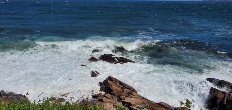
This morning we headed north on the Cabot Trail. Just out of town is the Cape Bretton Highlands National Park. The park was the first national park in the Atlantic provinces and covers an area of 948 square km. A good portion of the northern part of the Cabot Trail runs through the National ParK. Within the park there are lots of view points and trails, outside of the park are restaurants, gift shops and craft stores. Here are some sites along the way.
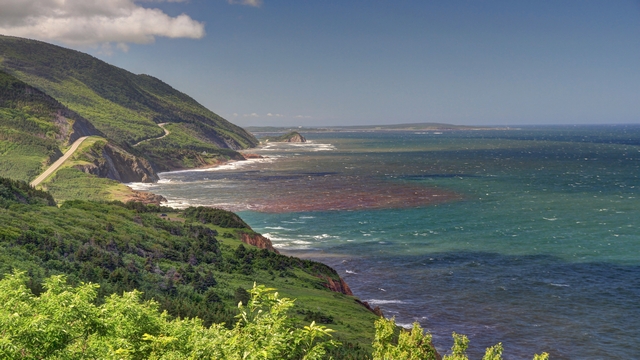
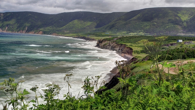
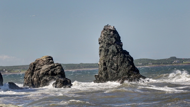
Pillar Rock.
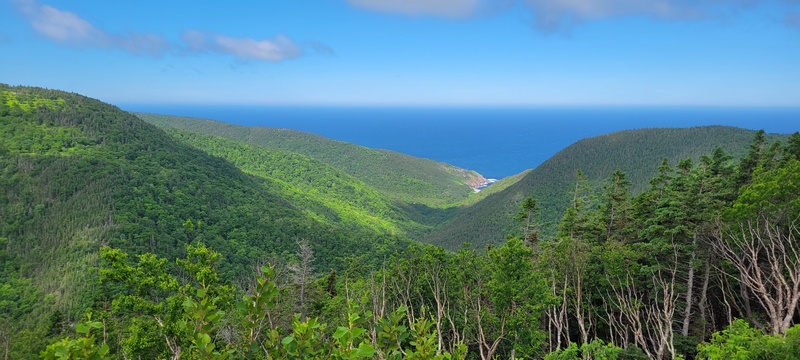
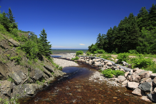
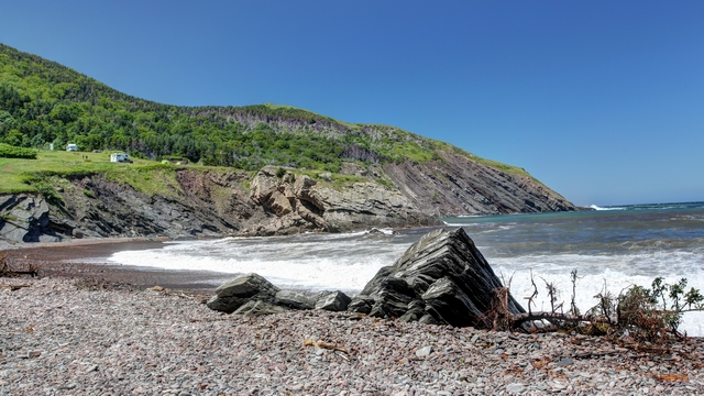
We ventured off the trail at Cape North and drove to Meat Cove. It's a really pretty cove but an enterprising person has put in a campground and cabin in the area overlooking the cove. It was still worth the drive as the scenery was amazing, plus we were able to get to the shingle beach to watch the waves coming in.
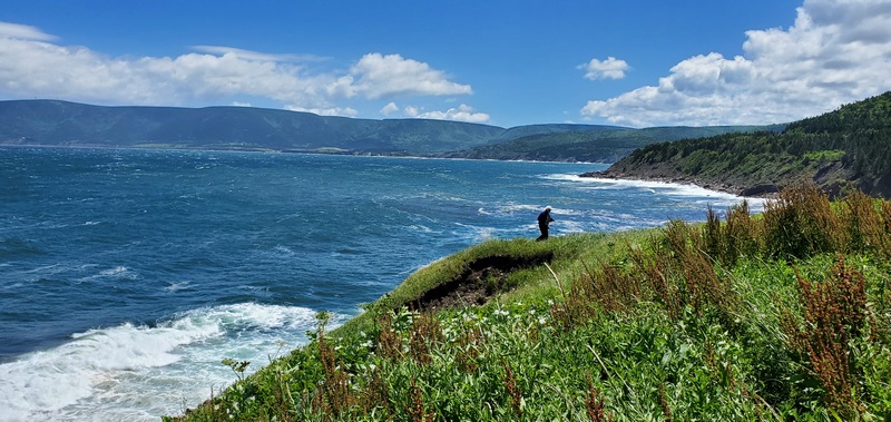
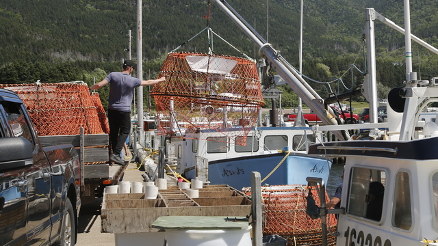
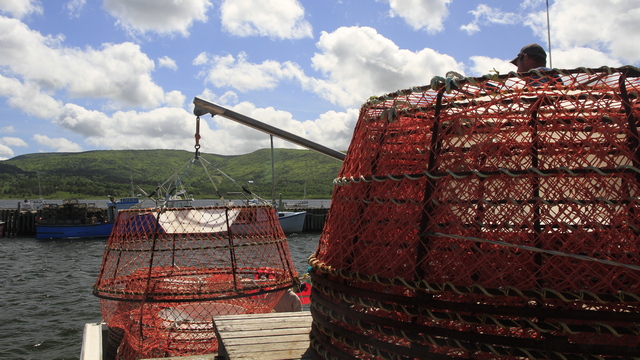
Still at the top end of Cape Bretton we stopped in at Bay St. Lawrence, a little fishing village. Tomorrow is the start of crab season so a lot of the boats were busy loading crab pots. We talked to a retired fisherman (he gifted his fishing company to his son last year). He's a crab and haddock fisherman and is a vegetarian. He said he just doesn't like the taste of fish, seafood or meat. Oh, he doesn't like seaweed either. He also told us he's a snowbird. About eight years ago he started going south to Halifax for the winter.
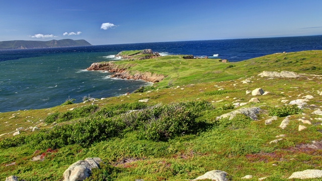
We headed back south to the Cabot Trail then took the turn off to White Point. The park ranger at the NP information centre told us that the "coastal loop" was more scenic than staying on the Cabot Trail. He also suggested that we hike the trail at White Point. A suggestion we were happy that we followed.
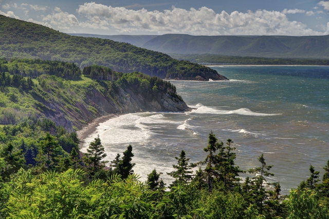
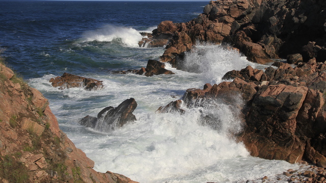
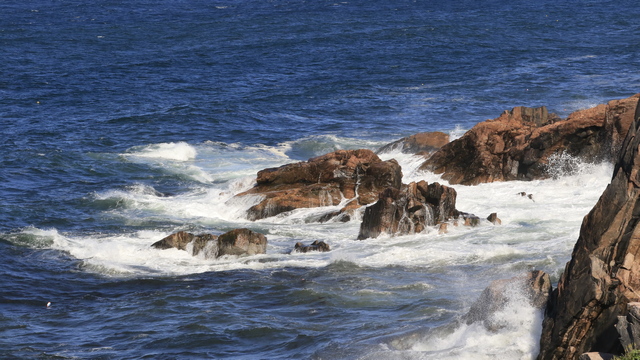
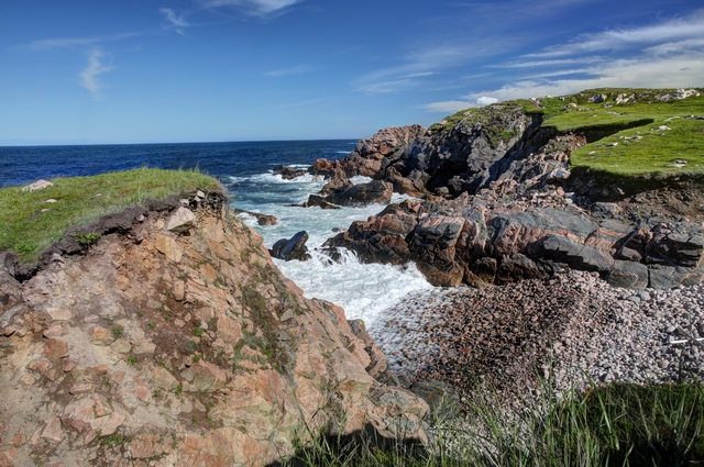
This morning we headed north on the Cabot Trail. Just out of town is the Cape Bretton Highlands National Park. The park was the first national park in the Atlantic provinces and covers an area of 948 square km. A good portion of the northern part of the Cabot Trail runs through the National ParK. Within the park there are lots of view points and trails, outside of the park are restaurants, gift shops and craft stores. Here are some sites along the way.


Pillar Rock.

We ventured off the trail at Cape North and drove to Meat Cove. It's a really pretty cove but an enterprising person has put in a campground and cabin in the area overlooking the cove. It was still worth the drive as the scenery was amazing, plus we were able to get to the shingle beach to watch the waves coming in.


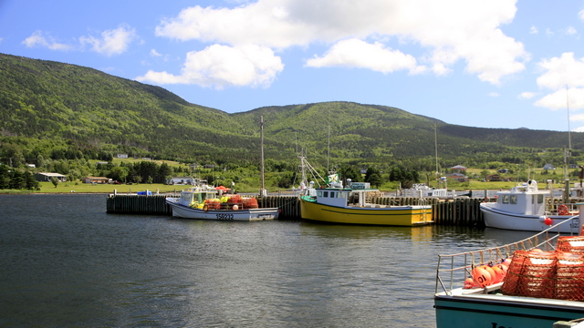
Still at the top end of Cape Bretton we stopped in at Bay St. Lawrence, a little fishing village. Tomorrow is the start of crab season so a lot of the boats were busy loading crab pots. We talked to a retired fisherman (he gifted his fishing company to his son last year). He's a crab and haddock fisherman and is a vegetarian. He said he just doesn't like the taste of fish, seafood or meat. Oh, he doesn't like seaweed either. He also told us he's a snowbird. About eight years ago he started going south to Halifax for the winter.
We headed back south to the Cabot Trail then took the turn off to White Point. The park ranger at the NP information centre told us that the "coastal loop" was more scenic than staying on the Cabot Trail. He also suggested that we hike the trail at White Point. A suggestion we were happy that we followed.


2022/07/06: Travel Day and Yes it Rained
Category: General
Posted by: The Agnew Family
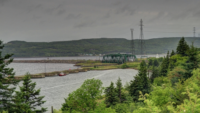
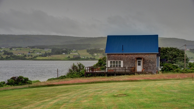
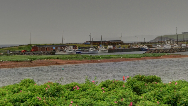
Today we left mainland Nova Scotia and have moved on to Cheticamp on
Cape Breton Island. It started raining about 3:00 am in Halifax and
continued until 9:00 pm in Cheticamp. As it was pouring most of the day
it curtailed most of the site seeing we were planning. Ed did manage to
take about 12 photos.


2022/07/05: Last Day in Halifax
Category: General
Posted by: The Agnew Family
Today we visited a few more sites in the Halifax area.
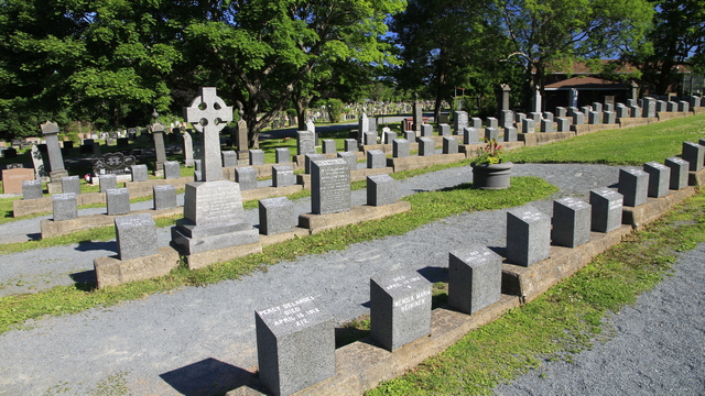
It was very moving seeing the graves from about 100 people who died on the Titanic.
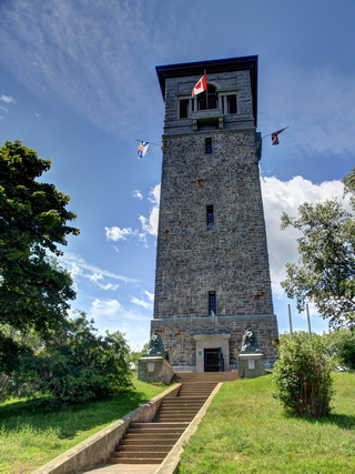
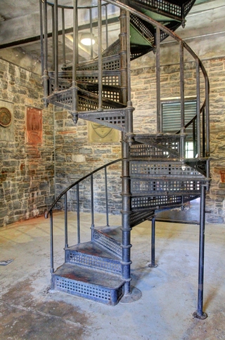
Dingle Tower in the Sir Sandford Fleming Park.
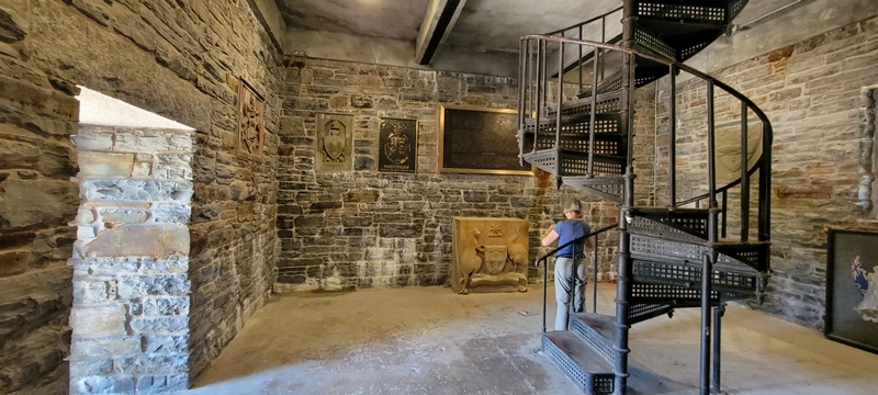
Each level of the tower have many plaques.
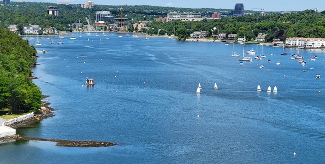
A view from the Dingle Tower.
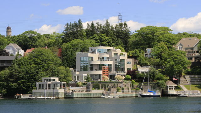
Do you want a nice little property on the water just outside of Halifax? We were told that it was built by a gentleman who owns a diamond mine.
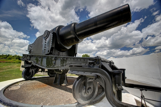
More cannons at the York Redoubt. "York Redoubt was constructed in 1793 just as war broke out between Britain and France. Perched on a bluff at the narrowest point of the outer harbour, it offers superb views."
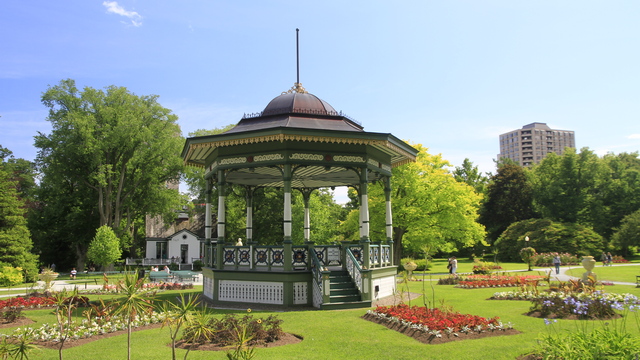
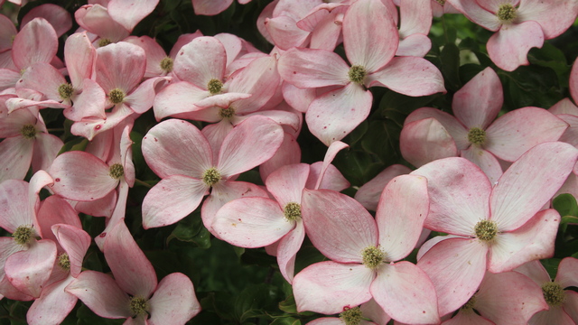
At the Halifax Public Gardens "see the versatility and symmetry of the Victorian Gardenesque style established in the 1800s, popular then and still in practice here in the only true Victoria Garden in North America." borrowed from the internet.
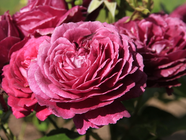
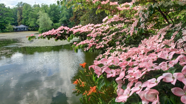
Kousa Dogwood
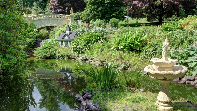
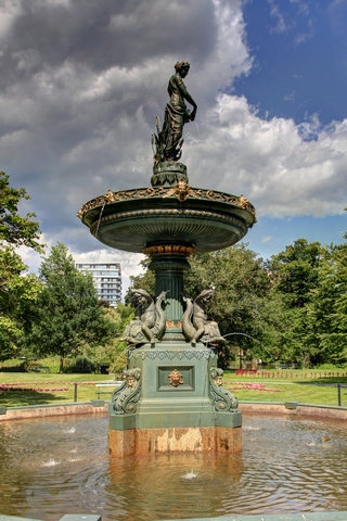
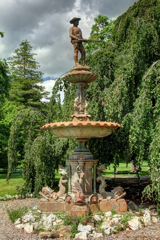
A couple of fountains in the Public Gardens.
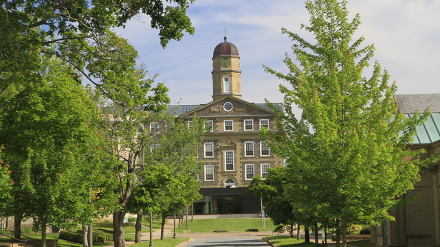
Leaving the garden we decided to take a different route back and ended up walking by the Dalhousie University campus.
It was very moving seeing the graves from about 100 people who died on the Titanic.


Dingle Tower in the Sir Sandford Fleming Park.

Each level of the tower have many plaques.

A view from the Dingle Tower.
Do you want a nice little property on the water just outside of Halifax? We were told that it was built by a gentleman who owns a diamond mine.

More cannons at the York Redoubt. "York Redoubt was constructed in 1793 just as war broke out between Britain and France. Perched on a bluff at the narrowest point of the outer harbour, it offers superb views."
At the Halifax Public Gardens "see the versatility and symmetry of the Victorian Gardenesque style established in the 1800s, popular then and still in practice here in the only true Victoria Garden in North America." borrowed from the internet.

Kousa Dogwood


A couple of fountains in the Public Gardens.
Leaving the garden we decided to take a different route back and ended up walking by the Dalhousie University campus.
2022/07/04: More Halifax
Category: General
Posted by: The Agnew Family
One of the main attractions in Halifax is the Halifax Citadel. Four
fortifications have been construction on Citadel Hill since the city was
founded by the English in 1749. The fourth and current fort is a
concrete star fort. The fort was never attacked.
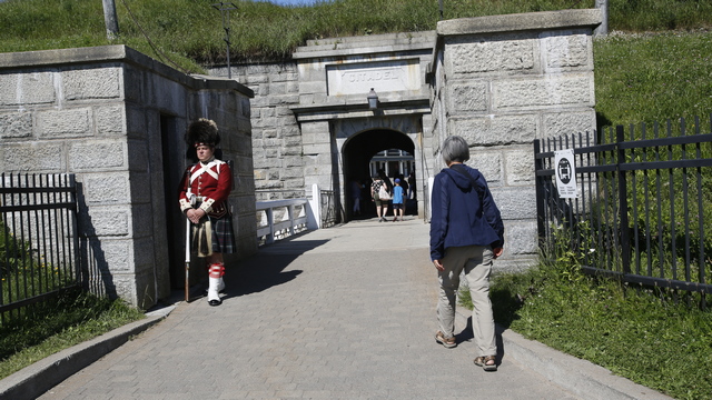
Front entrance to the Citadel.
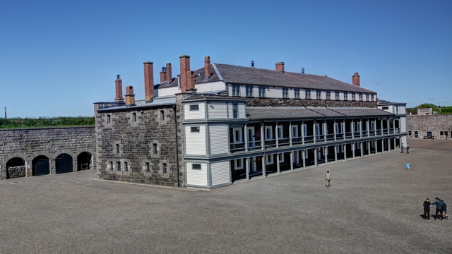
The Cavalier Building in the Citadel
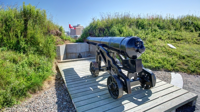
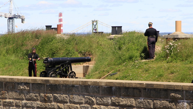
The practice of firing a cannon at noon every day continues. The cannon was fired twice a day to signal the time.
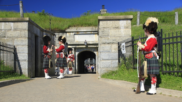
Every hour the guards at the main entrance to the citadel go through a formal changing of the guard. When the fort was active it was done every two hours.
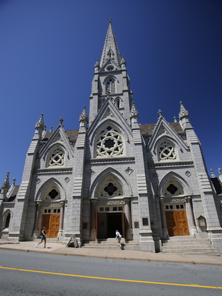
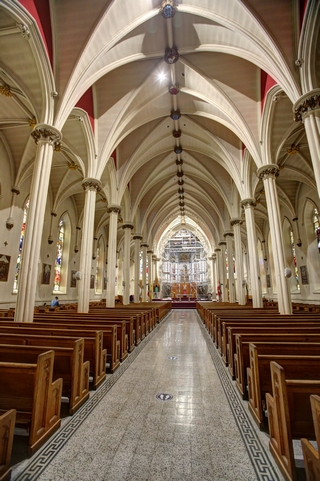
Saint Mary's Cathedral Basilica. "The church has been significantly expanded and altered over time. Originally constructed of wood, it was replaced by a stone structure beginning in 1820" borrowed from Wikipedia
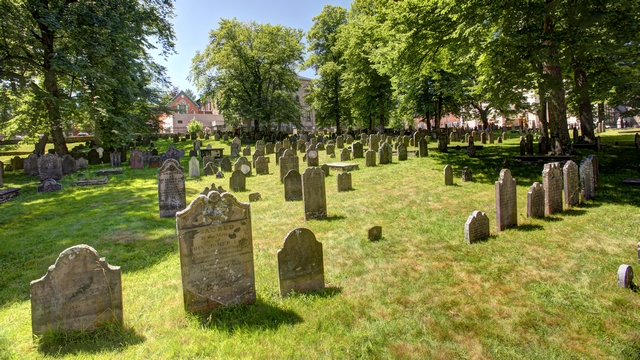
The Old Burying Grounds. This graveyard has stones that date back to 1752.
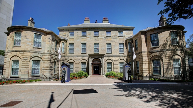
Government House is the home of the Lieutenant Governor of Nova Scotia.
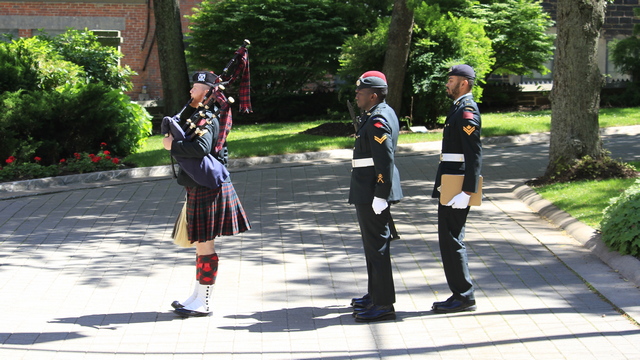
A piper brings the new guards and leads the old guards away.
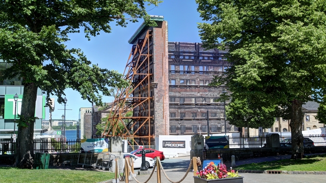
A steel structure has been built to hold up the fašade of a building so the rest of building is replaced.
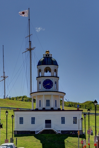
The Town Clock or Citadel Clock Tower.
From Wikipedia "The idea of a clock for the British Army and Royal Navy garrison at Halifax is credited to Prince Edward, Duke of Kent, who arranged for a turret clock to be manufactured before his return to England in 1800. It is said that Prince Edward, then commander-in-chief of all military forces in British North America, wished to resolve the tardiness of the local garrison. The Town Clock began keeping time for the garrison on October 20, 1803."
Front entrance to the Citadel.

The Cavalier Building in the Citadel

The practice of firing a cannon at noon every day continues. The cannon was fired twice a day to signal the time.
Every hour the guards at the main entrance to the citadel go through a formal changing of the guard. When the fort was active it was done every two hours.

Saint Mary's Cathedral Basilica. "The church has been significantly expanded and altered over time. Originally constructed of wood, it was replaced by a stone structure beginning in 1820" borrowed from Wikipedia

The Old Burying Grounds. This graveyard has stones that date back to 1752.

Government House is the home of the Lieutenant Governor of Nova Scotia.
A piper brings the new guards and leads the old guards away.

A steel structure has been built to hold up the fašade of a building so the rest of building is replaced.

The Town Clock or Citadel Clock Tower.
From Wikipedia "The idea of a clock for the British Army and Royal Navy garrison at Halifax is credited to Prince Edward, Duke of Kent, who arranged for a turret clock to be manufactured before his return to England in 1800. It is said that Prince Edward, then commander-in-chief of all military forces in British North America, wished to resolve the tardiness of the local garrison. The Town Clock began keeping time for the garrison on October 20, 1803."
2022/07/03: Fort Charlotte on Georges Island
Category: General
Posted by: The Agnew Family
A relatively new attraction for Halifax is Fort Charlotte on Georges
Island. This National Historic Site opened a year or two ago.
Stolen from the internet "Fort Charlotte (2) (1798-1965) - A British colonial coastal fort established in 1795 by Prince Edward on George's Island in Halifax Harbor in present day Halifax County, Nova Scotia, Canada. Officially named Fort Charlotte on 20 Oct 1798 for Queen Charlotte, Prince Edward's mother. Abandoned in 1965." This fort was used during all of the major conflicts but was not attacked.
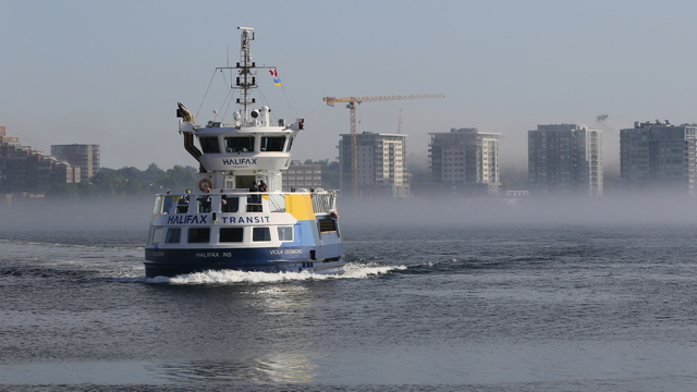
While we were waiting for the ferry to Georges Island we watched the fog. At times it was thin wisps.
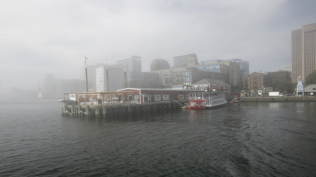
at other times it was pretty thick. No city views on the way to the island.
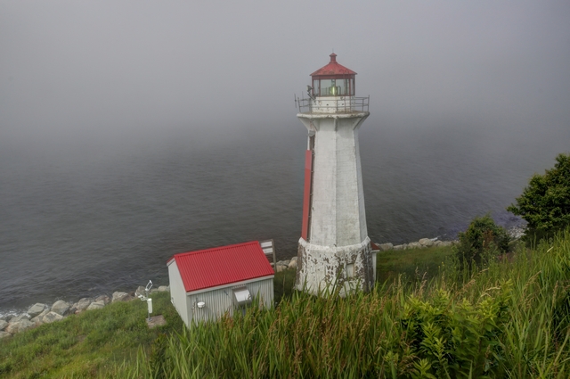
The lighthouse on Georges Island.
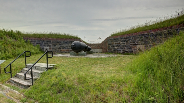
The cannons are resting on wooden stands as the original metal ones were melted down during WWI.
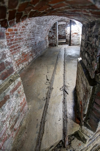
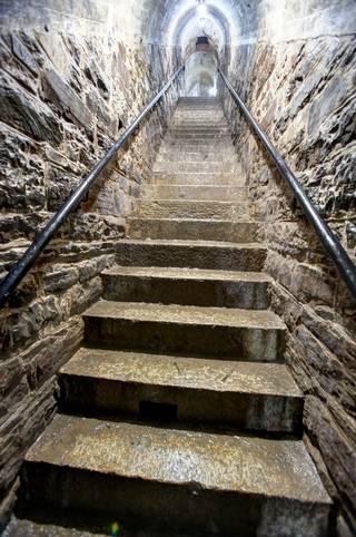
Georges Island is a drumlin, which is a big hill. Tunnels and ammunition storage rooms were built in the hill. The first photo is the tunnel and the 2nd photo is a stairwell in the tunnels.
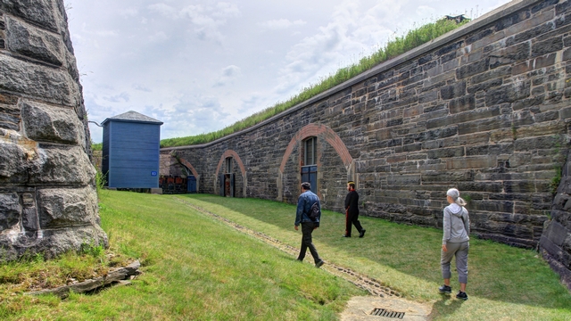
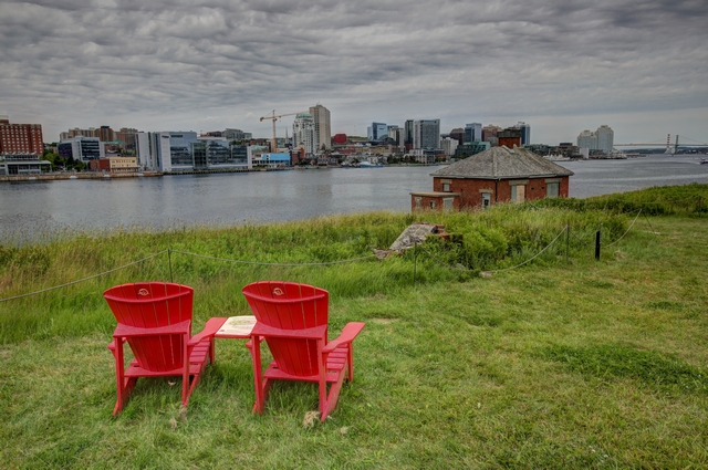
The fog cleared and you could see Halifax.
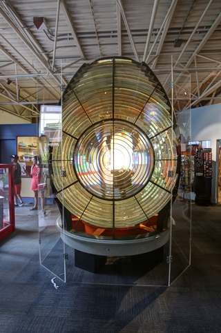
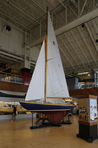
Another stop today was the Maritime Museum. They had good exhibits including one on the 1917 Halifax Explosion and another one on the Titanic. The left photo is of a large Fresnel lens used in a lighthouse. The photo on the right is one of many small boats on display.
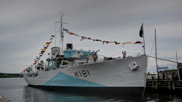
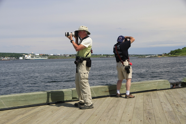
Photographers at play.
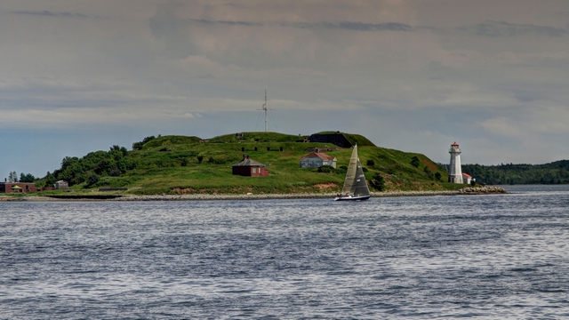
Georges Island from Halifax.
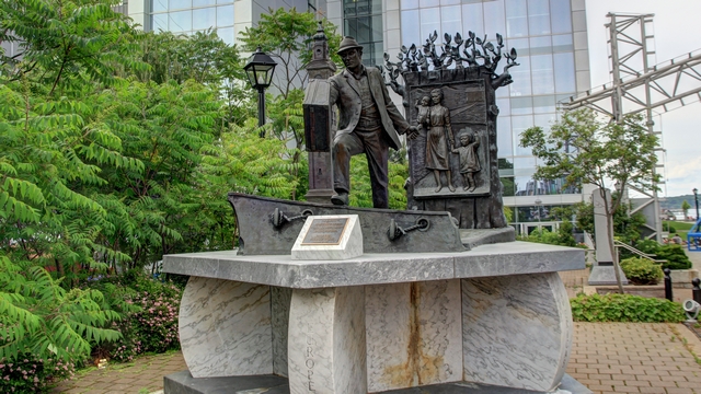
An interesting statue called "The Immigrant"
Stolen from the internet "Fort Charlotte (2) (1798-1965) - A British colonial coastal fort established in 1795 by Prince Edward on George's Island in Halifax Harbor in present day Halifax County, Nova Scotia, Canada. Officially named Fort Charlotte on 20 Oct 1798 for Queen Charlotte, Prince Edward's mother. Abandoned in 1965." This fort was used during all of the major conflicts but was not attacked.
While we were waiting for the ferry to Georges Island we watched the fog. At times it was thin wisps.
at other times it was pretty thick. No city views on the way to the island.

The lighthouse on Georges Island.

The cannons are resting on wooden stands as the original metal ones were melted down during WWI.


Georges Island is a drumlin, which is a big hill. Tunnels and ammunition storage rooms were built in the hill. The first photo is the tunnel and the 2nd photo is a stairwell in the tunnels.


The fog cleared and you could see Halifax.

Another stop today was the Maritime Museum. They had good exhibits including one on the 1917 Halifax Explosion and another one on the Titanic. The left photo is of a large Fresnel lens used in a lighthouse. The photo on the right is one of many small boats on display.

Photographers at play.

Georges Island from Halifax.

An interesting statue called "The Immigrant"
2022/07/02: Ed's Best Day of the Vacation
Category: General
Posted by: The Agnew Family
When we decided to travel east this summer, Ed got all excited because
the first geocache placed in Canada was placed near Chester NS. Finding
this cache was a "must" for Ed and today we were finally in the area and
he was able to find it.
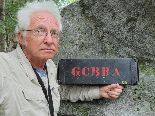
Happy boy, he found the cache.
Today's destination is Halifax with stops in Mahone Bay, Chester and Peggy's Cove. We were lucky the rain held off till we got to Peggy's Cove.
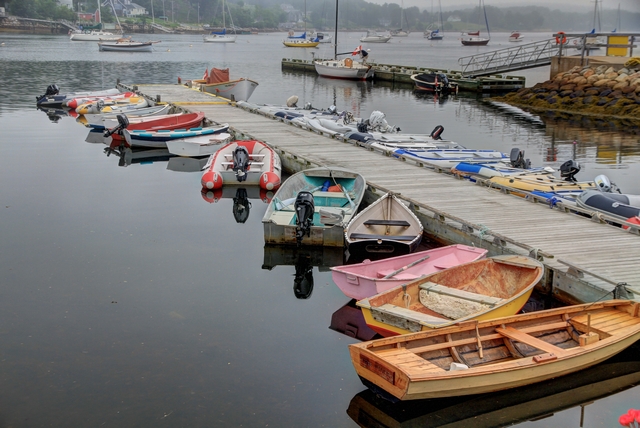
Mahone Bay has a busy harbour with lots of boats anchored off shore so lots of dinghies at the dock.
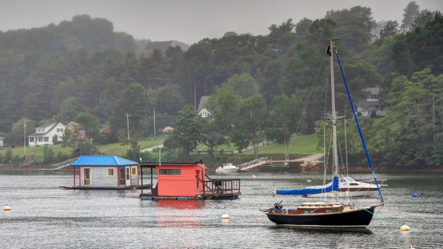
I'm intrigued by these little houses on the water. Not sure if they were houses or cottages or just fishing shacks.
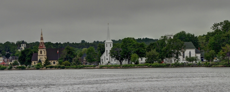
Mahone Bay is famous for the great photo of the 3 churches. The location in the guide books doesn't appear to work anymore as a tree blocks the farthest, oldest and smallest of the 3 churches. We finally found a spot where we could see all three churches.
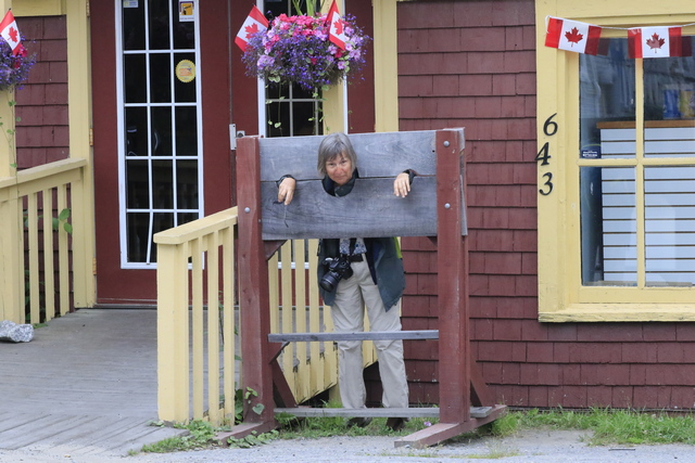
Someone must have been bad!
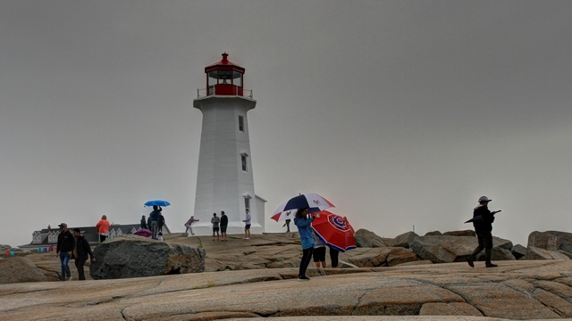
The lighthouse at Peggy's Cove is a popular thing to photograph. Today, I think it was the people around the lighthouse that were the story. If you look closely you'll see a young man hugging the lighthouse.
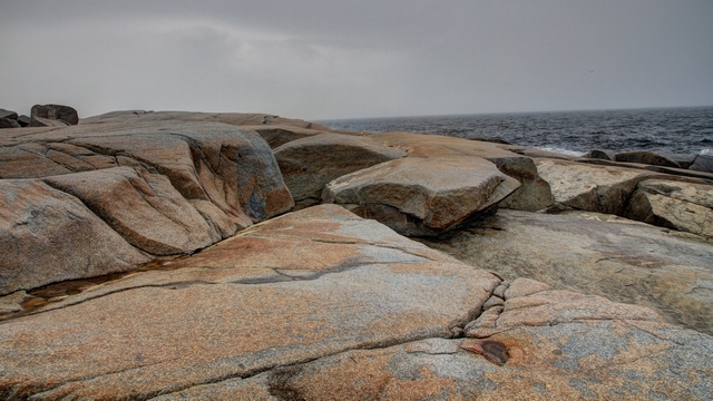
The rocks at Peggy's Cove are almost as famous as the lighthouse itself.
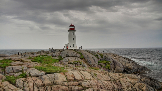
Today it's all about the story. I think this photo and the next one tell a story as well.
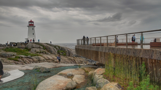
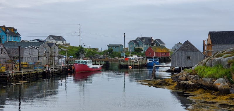
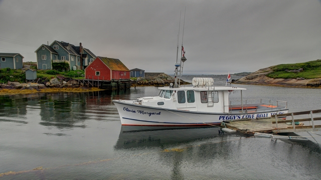
A couple of photos of the village of Peggy's Cove
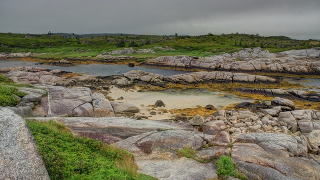
An interesting view near the information centre.

Happy boy, he found the cache.
Today's destination is Halifax with stops in Mahone Bay, Chester and Peggy's Cove. We were lucky the rain held off till we got to Peggy's Cove.

Mahone Bay has a busy harbour with lots of boats anchored off shore so lots of dinghies at the dock.

I'm intrigued by these little houses on the water. Not sure if they were houses or cottages or just fishing shacks.

Mahone Bay is famous for the great photo of the 3 churches. The location in the guide books doesn't appear to work anymore as a tree blocks the farthest, oldest and smallest of the 3 churches. We finally found a spot where we could see all three churches.
Someone must have been bad!

The lighthouse at Peggy's Cove is a popular thing to photograph. Today, I think it was the people around the lighthouse that were the story. If you look closely you'll see a young man hugging the lighthouse.

The rocks at Peggy's Cove are almost as famous as the lighthouse itself.

Today it's all about the story. I think this photo and the next one tell a story as well.


A couple of photos of the village of Peggy's Cove


An interesting view near the information centre.
2022/07/01: Happy Canada Day!!!
Category: General
Posted by: The Agnew Family
Since Lunenburg was having a big Canada Day celebration, Ed and I
decided to take a drive south from Lunenburg (Ed's not a fan of crowds).
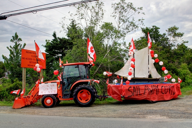
The village of Riverport was also having a Canada Day celebration. The festivities, centred at the firehall, included a fish fry and a parade. In our travels around Riverport we came across this float.
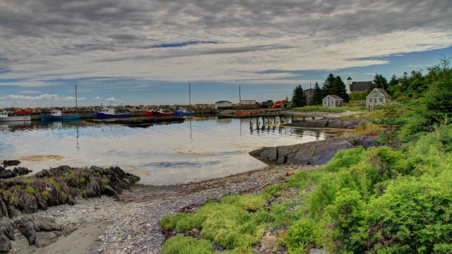
Near Feltzen South
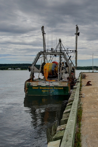
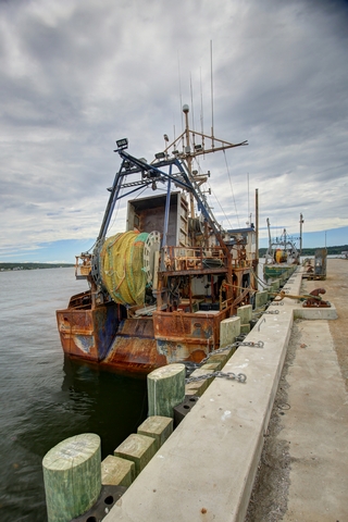
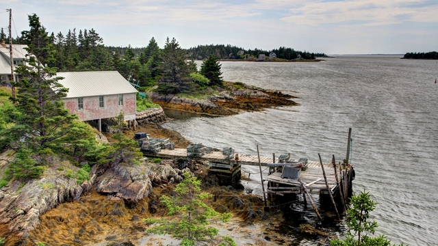
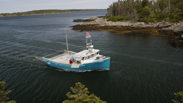
Not far from Riverport we found a Government with some interesting boats.
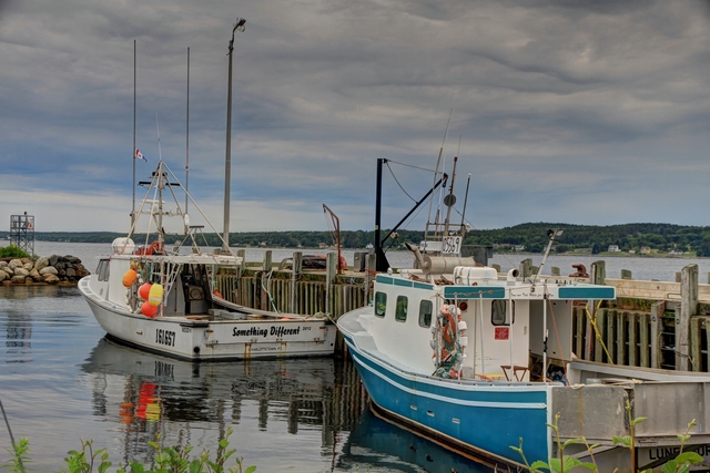
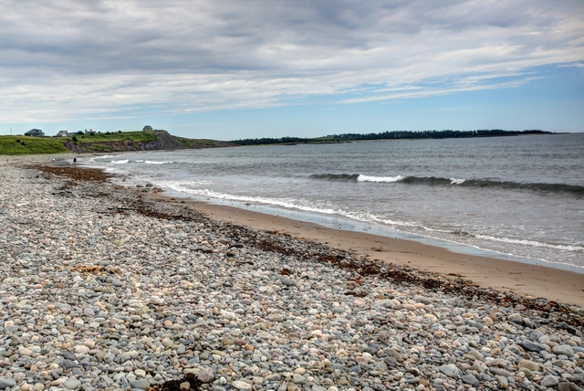
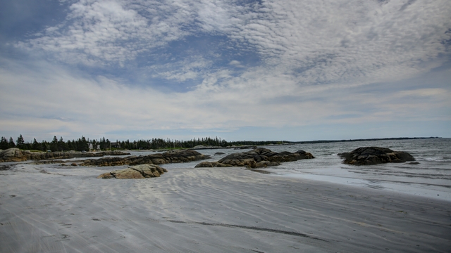
Categorized as a living beach because the beach moves and shifts at the whim of the ocean. Hirtle's Beach is ever changing. In the winter the beach is full of stones in the summer it is sandy.
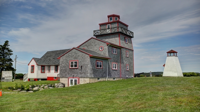
Fort Point Lighthouse
Crescent Beach is a long white sand beach that is a causeway that connects the mainland to the LaHave Islands.
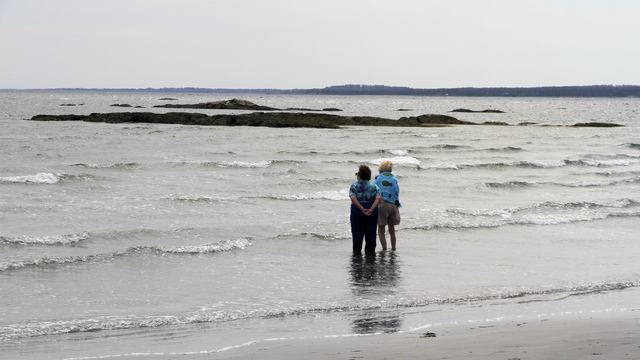
Not necessary a great photo, but it is one with an unknown story behind it.
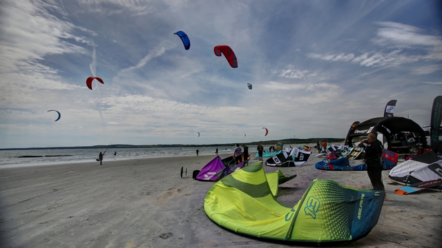
The kite surfers were having fun today.
Several of the LaHave Islands are connect together by interesting bridges and Bush Island is connected to the mainland by the Crescent Beach causeway.
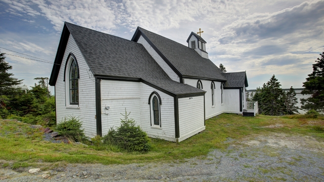
Borrowed from the "Built in 1903, St. John Evangelist Anglican Church is a modest Victorian Gothic Revival building located on Bell Island in the LaHave Islands of Nova Scotia. The church rests on a small knoll with the main entrance facing the water."

The village of Riverport was also having a Canada Day celebration. The festivities, centred at the firehall, included a fish fry and a parade. In our travels around Riverport we came across this float.

Near Feltzen South


Not far from Riverport we found a Government with some interesting boats.


Categorized as a living beach because the beach moves and shifts at the whim of the ocean. Hirtle's Beach is ever changing. In the winter the beach is full of stones in the summer it is sandy.

Fort Point Lighthouse
Crescent Beach is a long white sand beach that is a causeway that connects the mainland to the LaHave Islands.
Not necessary a great photo, but it is one with an unknown story behind it.

The kite surfers were having fun today.

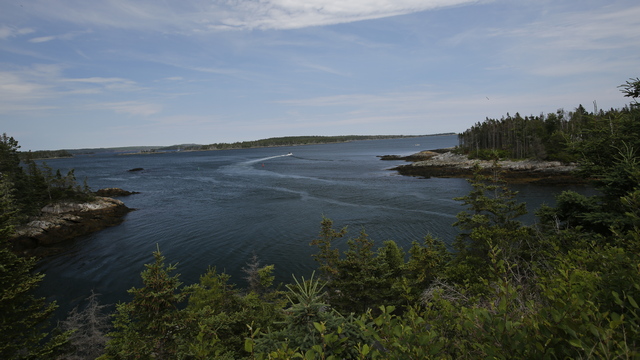
Several of the LaHave Islands are connect together by interesting bridges and Bush Island is connected to the mainland by the Crescent Beach causeway.


Borrowed from the "Built in 1903, St. John Evangelist Anglican Church is a modest Victorian Gothic Revival building located on Bell Island in the LaHave Islands of Nova Scotia. The church rests on a small knoll with the main entrance facing the water."